Erbent
| Erbent | |
|---|---|
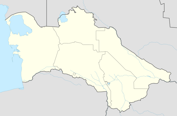 Erbent Location in Turkmenistan | |
| Coordinates: 39°18′51″N 58°35′38″E / 39.31417°N 58.59389°ECoordinates: 39°18′51″N 58°35′38″E / 39.31417°N 58.59389°E | |
| Country |
|
| Province | Ahal Province |

A panorama from the entrance to the village Erbent/Yerbent.
Erbent (also known as Yerbent or Ýerbent) is a village in Ahal Province, Turkmenistan.[1] The village is located in the Karakum Desert in central Turkmenistan. It is the largest settlement on the road between Ashgabat and Daşoguz, which are located near the southern and northern border of the country respectively.[2]
Overview
The community largely consists of single-story buildings and yurts. Its economy is dominated by livestock herding, which has resulted in the desertification of the surrounding area. A Soviet-era monument in the village center memorializes 11 supporters of socialism who died during the Basmachi Revolt in 1931.[2]
References
This article is issued from Wikipedia - version of the 9/12/2015. The text is available under the Creative Commons Attribution/Share Alike but additional terms may apply for the media files.