1903 Manzikert earthquake
  | |
| Date | 28 April 1903 |
|---|---|
| Magnitude | 7.0 (Ms) |
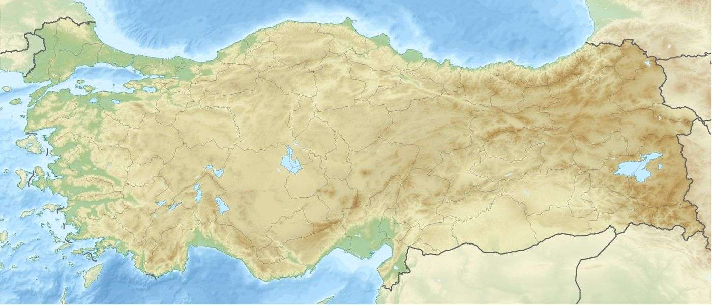
| Epicenter | 39°08′N 42°39′E / 39.14°N 42.65°ECoordinates: 39°08′N 42°39′E / 39.14°N 42.65°E[1] |
| Areas affected | Turkey |
| Total damage | 12,000 homes destroyed |
| Aftershocks | one |
| Casualties | 3,500 humans and 20,000 livestock killed |
The 1903 Manzikert earthquake struck Manzikert of nowadays Muş Province in eastern Turkey on 28 April. Registering a surface wave magnitude of 7.0,[2] the earthquake originated from a highly active seismic zone. It killed 3,500 people and 20,000 animals, destroyed 12,000 homes, and is now listed among the world's deadliest earthquakes in recorded history. To this day, Turkey is threatened by major earthquakes – more than 100 earthquakes over 7.0 have taken place in the country's known history.
Geology

The country of Turkey is situated on a highly active section of the Eurasian Plate boundary. The country is mainly mountainous, approximately 85 percent of the country is at an elevation of 450 m (1,476 ft) or more.[3] The entire country lies within a zone of active deformation known as the Alpide belt. This zone of continental collision reaches from the Atlantic Ocean to the Himalaya Mountains and beyond; dating back to the Paleogene period. It has formed due to convergent movement between the Arabian, African, and Indian continental plates and the Eurasian plate. The Anatolian Plate is currently being squeezed out to the west by the ongoing collision between the Arabian plate and the Eurasian Plate, bounded to the southeast by the East Anatolian Fault and to the north by the North Anatolian Fault.[4] To the east of the junction of these two faults, the Arabian Plate is in direct collision with the Eurasian Plate. This area is characterised by thrust faulting and was the area in which the 1903 event occurred.
Damage and casualties
Among the world's deadliest earthquakes, the earthquake caused 3,500 direct fatalities.[5] 12,000 homes were devastated.[5] 20,000 animals (other than humans) were killed in the epicentral region of Manzikert-Patnos.[5] Damage to a lesser extent reached Erzurum and Bitlis. On August 6, additional damage took place and people were injured when an aftershock rocked the same region.[5]
Threat
Major earthquakes have taken place in the country as early as 411 B.C. In the 20th century, 58 major destructive earthquakes took place – in total, they have killed more than 100,000 people, injured 150,000, and desolated approximately 420,000 homes and buildings. More than 100 earthquakes of magnitude 7 or greater have taken place in the country historically.[6]
See also
References
- ↑ "Boğaziçi Üniversitesi Kandilli Rasathanesi ve Deprem Araştırma Enstitüsü" (in Turkish). Archived from the original on April 13, 2010. Retrieved May 3, 2010.
- ↑ Ambraseys, N. (2001). "Reassessment of earthquakes, 1900–1999, in the Eastern Mediterranean and the Middle East" (PDF). 145: 471–485.
- ↑ Metz, Helen Chapin. "Turkey – Geology". United States Library of Congress. Retrieved April 30, 2010.
- ↑ Tan, O.; Tapirdamaz C. & Yörük A. (2008). "The Earthquake Catalogues for Turkey" (PDF). Turkish Journal of Earth Sciences. 17: 405–418. Retrieved May 3, 2010.
- 1 2 3 4 "Today in Earthquake History: April 28". United States Geological Survey. December 18, 2009. Retrieved April 28, 2010.
- ↑ "Major Turkish Earthquakes of the 20th century". Multidisciplinary Center for Earthquake Engineering. Research Foundation of the State of New York. 2010. Archived from the original on April 4, 2010. Retrieved April 28, 2010.