1956 Chim earthquake
 | |
| Date | March 16, 1956 |
|---|---|
| Magnitude | 4.8 Ms & 5.1 Ms |
| Epicenter | 33°30′N 35°30′E / 33.5°N 35.5°ECoordinates: 33°30′N 35°30′E / 33.5°N 35.5°E |
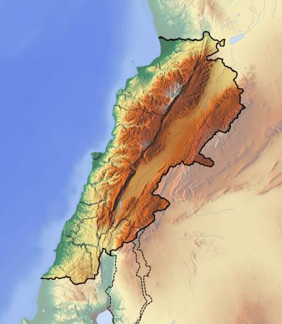
| Areas affected | Lebanon |
| Casualties | 136 |
The 1956 Chim earthquake was a destructive multiple-shock event that occurred on March 16 in Lebanon along a strand of the Dead Sea Transform (DST) fault system.[1] The epicenter was located in the south of Lebanon in the Chouf District. Six thousand homes were destroyed and another 17,000 were damaged. The number of persons killed was 136.[2]
Tectonic setting
The DST is a 1,609 km (1,000 mi) long transform fault that runs in a mostly north-south direction from the northern end of the Red Sea along the Jordan Rift Valley to the Taurus Mountains complex in southern Turkey. The left-lateral fault zone marks the boundary of the Arabian Plate and the Sinai-Levantine block and consists of multiple parallel faults.[3] As the fault moves through Lebanon and Syria the fault trace follows a restraining bend and splits into several strands that include the Serghaya, Rachaya, and Roum faults, as well as the prominent Yammouneh fault.[4]
Earthquake
The Roum fault runs for a length of 35 kilometers (22 mi) between the Hula basin the Awali river and is the westernmost strand of the fault system in that area. A paleoseismic trench investigation revealed that it may have been the source of the twin-shock event.[5]
The twin shocks were separated by less than fifteen minutes with the first event occurring at 19:32 and the second event at 19:43 hours.[2] The initial shock was estimated to measure (Ms = 4.8) and the second event was rated (Ms = 5.1).
See also
References
- ↑ Galey, Patrick (March 12, 2010). "Scientists predict large Lebanon earthquake looming". The Daily Star. Retrieved August 2, 2012.
- 1 2 Brazee, Rutlage J.; Cloud, William K. (1956), United States Earthquakes, United States Department of Commerce / U.S. National Geodetic Survey, p. 50, retrieved August 2, 2012
- ↑ Daeron, M.; Klinger, Y.; Tapponnier, P.; Elias, A.; Jacques, E.; Sursock, A. (2005), "Sources of the large A.D. 1202 and 1759 Near East earthquakes" (PDF), Geology, Geological Society of America, 33 (7): 529, doi:10.1130/G21352.1
- ↑ Mohamad, Randa; Nasser Darkal, Abdul; Seber, Dogan; Sandvol, Eric; Gomez, Francisco; Barazangi, Muawia (2000), "Remote Earthquake Triggering along the Dead Sea Fault in Syria following the 1995 Gulf of Aqaba Earthquake (Ms = 7.3)", Seismological Research Letters, Seismological Society of America, 71 (1): 48, doi:10.1785/gssrl.71.1.47
- ↑ Nemer, Tony; Meghraoui, Mustapha (August 2006), "Evidence of coseismic ruptures along the Roum fault (Lebanon): a possible source for the AD 1837 earthquake", Journal of Structural Geology, Elsevier, 28 (8): 1483–1495, doi:10.1016/j.jsg.2006.03.038