A340 road
| |
|---|---|
 | |
| Route information | |
| Length: | 17 mi (27 km) |
| Major junctions | |
| South end: |
Basingstoke 51°15′20″N 1°06′14″W / 51.2555°N 1.1040°W |
|
| |
| North end: |
Pangbourne 51°29′01″N 1°05′15″W / 51.4837°N 1.0875°W |
| Road network | |

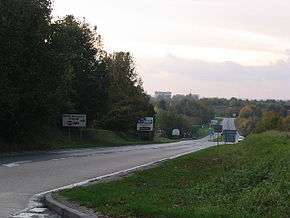
The A340 is a major road in the south of England, portions of which are known as the Aldermaston Road, Tadley Hill, Basingstoke Road and Tidmarsh Road.
Route
Starting in the south of Basingstoke, Hampshire, it runs west, forming the western side of the Basingstoke ringroad, before swinging north to Tadley and then enters Berkshire. It passes the gates of the Atomic Weapons Establishment at Aldermaston, before passing through the village of Aldermaston itself and then joining the A4 at Aldermaston Wharf. After approximately 2.5 miles (4.0 km) north-east, the A340 runs further north to Pangbourne, to the west of Reading. This section of the road is thought to follow the Roman road from Calleva Atrebatum (about 7 miles (11 km) to the south).
See also
A roads in Zone 3 of the Great Britain road numbering scheme | ||
|---|---|---|
Coordinates: 51°22′25″N 1°09′05″W / 51.3737°N 1.1515°W