A4 highway (Lithuania)
| |
|---|---|
| Vilnius – Varėna – Druskininkai | |
 | |
| Route information | |
| Length: | 134.46 km (83.55 mi) |
| Major junctions | |
| From: | Vilnius |
| To: |
Grodno P42 P42 highway |
| Location | |
| Major cities: | Varėna, Druskininkai |
| Highway system | |
|
Lithuanian road system International E-road network | |

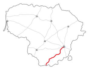
The A4 highway is a highway in Lithuania (Magistraliniai keliai). It runs from Vilnius to the Belarus border, near Druskininkai. From there the road continues to Grodno as P42. The length of the road is 134.46 km.
Most of the road has 1+1 lanes and a 90 km/h speed limit. It is the main road connecting Vilnius with the Dzūkija region.
This article is issued from Wikipedia - version of the 1/22/2016. The text is available under the Creative Commons Attribution/Share Alike but additional terms may apply for the media files.