Abington Vale
Coordinates: 52°14′N 0°51′W / 52.24°N 00.85°W
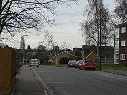
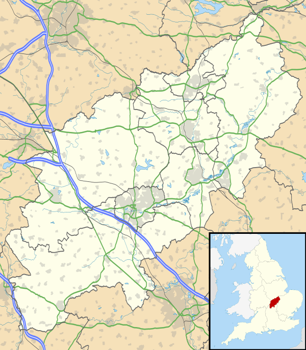
Abington Vale is an area of Northampton in Northamptonshire, England.[1] Abington Vale lies just to the north of the A45 road and the River Nene; Abington Vale is about 2 miles (3.2 km) north-east from the centre of Northampton.
To the south of Abington Vale is the Nene Valley Gravel Pits which is a Site of Special Scientific Interest (SSSI) as well as being a Special Protection Area.[2] To the east is Billing Aquadrome.[1]
References
- 1 2 Ordnance Survey: Landranger map sheet 152 Northampton & Milton Keynes (Buckingham & Daventry) (Map). Ordnance Survey. 2014. ISBN 9780319231715.
- ↑ "Magic Map Application: Abington Vale". Defra. Retrieved 27 January 2016.
This article is issued from Wikipedia - version of the 1/27/2016. The text is available under the Creative Commons Attribution/Share Alike but additional terms may apply for the media files.