Agaun Airport
| Agaun Airport | |||||||||||
|---|---|---|---|---|---|---|---|---|---|---|---|
| IATA: AUP – ICAO: AYAG | |||||||||||
| Summary | |||||||||||
| Location | Agaun, Papua New Guinea | ||||||||||
| Elevation AMSL | 3,200 ft / 975 m | ||||||||||
| Coordinates | 9°55.85′S 149°23.14′E / 9.93083°S 149.38567°ECoordinates: 9°55.85′S 149°23.14′E / 9.93083°S 149.38567°E | ||||||||||
| Map | |||||||||||
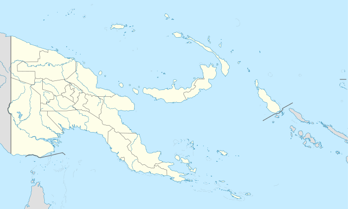 AUP Location of airport in Papua New Guinea | |||||||||||
| Runways | |||||||||||
| |||||||||||
|
Source: PNG Airstrip Guide[1] | |||||||||||
Agaun Airport (IATA: AUP, ICAO: AYAG) is an airfield in Agaun, in the Milne Bay Province of Papua New Guinea.[1]
References
- 1 2 PNG Airstrip Guide. August 2005.
External links
This article is issued from Wikipedia - version of the 7/16/2016. The text is available under the Creative Commons Attribution/Share Alike but additional terms may apply for the media files.