El Alamein International Airport
| El Alamain International Airport مطار العلمين الدولي | |||||||||||
|---|---|---|---|---|---|---|---|---|---|---|---|
| IATA: DBB – ICAO: HEAL | |||||||||||
| Summary | |||||||||||
| Airport type | Public | ||||||||||
| Owner/Operator | International Airports Company | ||||||||||
| Serves | El Alamein | ||||||||||
| Location | El Dabaa | ||||||||||
| Elevation AMSL | 143 ft / 44 m | ||||||||||
| Coordinates | 30°55′28″N 28°27′41″E / 30.92444°N 28.46139°ECoordinates: 30°55′28″N 28°27′41″E / 30.92444°N 28.46139°E | ||||||||||
| Website |
www | ||||||||||
| Map | |||||||||||
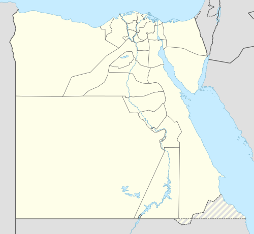 HEAL Location of airport in Egypt | |||||||||||
| Runways | |||||||||||
| |||||||||||
El Alamein International Airport (IATA: DBB, ICAO: HEAL) (Arabic: مطار العلمين الدولي Maṭār El ʿAlamein El Dawli) is an international airport located in El Dabaa, Matrouh Governorate, Egypt. The airport is located at the Northern coast, 160 km (99 mi) west of Alexandria.[3]
Operations
Overview
.jpg)
El Alamein International Airport is owned and operated by International Airports Company which is KATO investment subsidiary.[4][5] On 1999 a bid for build–operate–transfer (BOT), was won by International Airport Company of 50-year extendable concession.
The airport occupies an area of 64 square kilometres (25 sq mi) with a single terminal which can handle 600 passengers per hour.[4][5]
Runways
El Alamein International Airport has a single runway 3,499 m (11,480 ft), suitable for A380-800 operations.[4]
See also
References
- ↑ Airport information for HEAL at World Aero Data. Data current as of October 2006.Source: DAFIF.
- ↑ Airport information for DBB / HEAL at Great Circle Mapper. Source: DAFIF (effective October 2006).
- ↑ "Alamein". eac-airports. Retrieved 9 July 2016.
- 1 2 3 "Logistics Division". katoinvestment. Retrieved 8 July 2016.
- 1 2 "Alalamin Airport". alalamain-airport. Archived from the original on 18 August 2016. Retrieved 8 July 2016.