Allincapac
| Allincapac | |
|---|---|
 | |
| Highest point | |
| Elevation | 5,780 m (18,960 ft) |
| Coordinates | 13°54′29″S 70°24′56″W / 13.90806°S 70.41556°WCoordinates: 13°54′29″S 70°24′56″W / 13.90806°S 70.41556°W |
| Geography | |
 Allincapac Peru | |
| Location | Peru, Puno Region |
| Parent range | Andes, Carabaya |
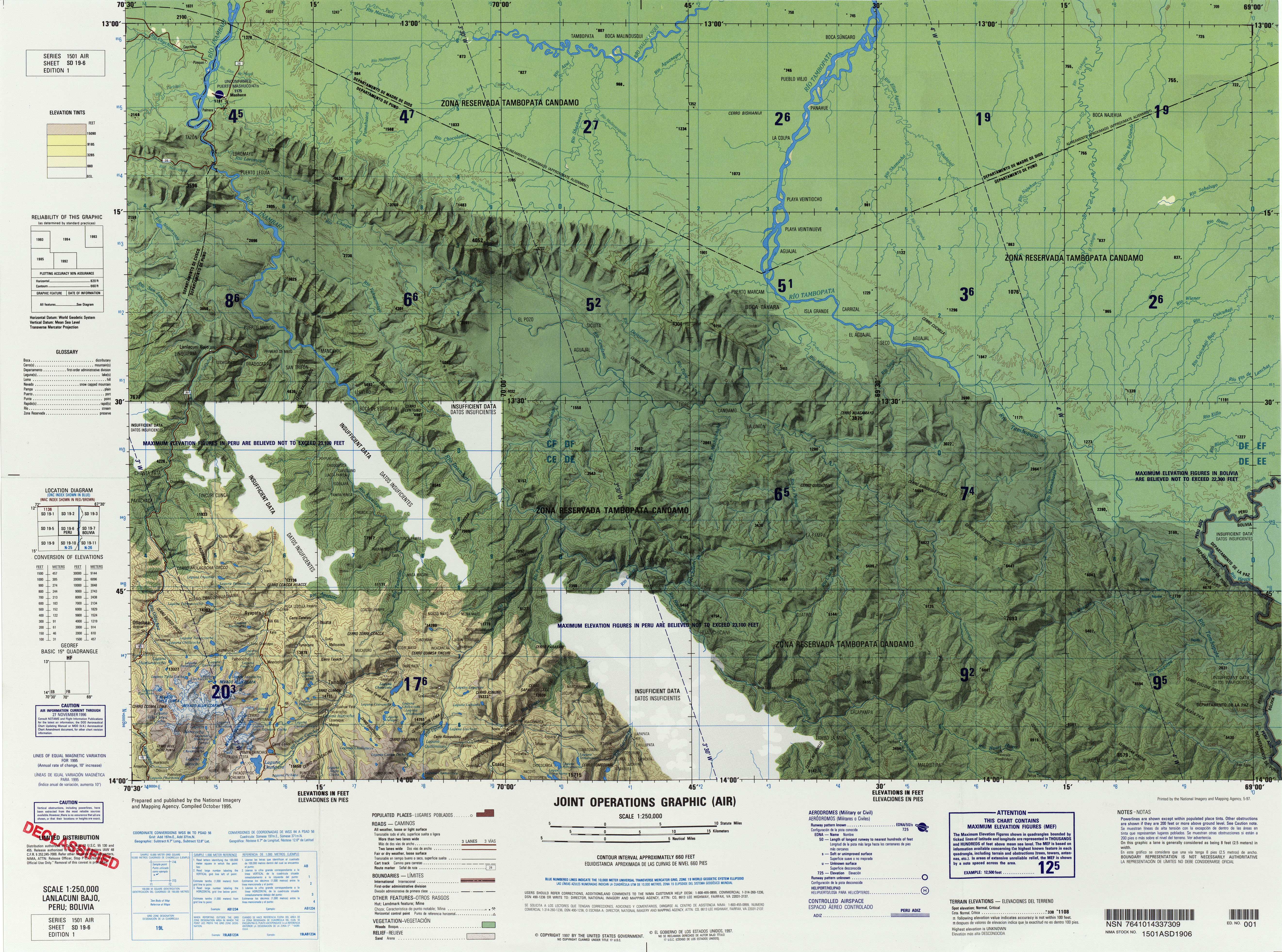
Allincapac or Allin Qhapaq, also Allinqhapaq, (Quechua allin good, qhapaq the mighty one,[1][2] "the good mighty one", hispanicized spellings Allincapac, Allin Capac, Allin Cápac, Allin Ccapac, Allinccapacc, Allin Japac, Allin Qhapac) is a mountain in the Andes of Peru.[3] It is the highest peak of the Carabaya mountain range,[4] rising up to 5,780 metres (18,963 ft).[5] Allin Qhapaq is located in the Puno Region, Carabaya Province, Macusani District, south of Wayna Qhapaq,[6] northeast of Ch'ichi Qhapaq and north of the lake Chawpiqucha.
References
- ↑ Teofilo Laime Ajacopa, Diccionario Bilingüe Iskay simipi yuyayk'ancha, La Paz, 2007 (Quechua-Spanish dictionary): allin. - adv. Bien. De buena manera, sin inconveniente o dificultad. qhapaq. - adj. Principal. Primero en importancia. || Noble, ilustre. Qhapaq. / Rico, -ca. Noble, adinerado. / adj. y s. Poderoso, -sa. Acaudalado, adinerado. || El que tiene extensas tierras.
- ↑ Diccionario Quechua - Español - Quechua, Academía Mayor de la Lengua Quechua, Gobierno Regional Cusco, Cusco 2005: qhapaq - s. Hist. Término utilizado en el inkanato para denominar al poderosos, ilustre, eminente, regio, próspero, glorioso, de sangre real, etc. ...
- ↑ lib.utexas.edu Map of the area
- ↑ John Biggar, Los Andes - Una Guía para Escaladores, p. 120
- ↑ allthemountains.com Maps of the Eastern Andes of Peru including two maps of the Kallawaya mountain range
- ↑ Taken from Mountaineering in the Andes by Jill Neate RGS-IBG Expedition Advisory Centre, 2nd edition, May 1994
This article is issued from Wikipedia - version of the 8/27/2016. The text is available under the Creative Commons Attribution/Share Alike but additional terms may apply for the media files.