Almirante Schroeders Airport
| Almirante Schoeders Airport Aeropuerto de Almirante Schoeders | |||||||||||||||
|---|---|---|---|---|---|---|---|---|---|---|---|---|---|---|---|
| IATA: none – ICAO: SCDW | |||||||||||||||
| Summary | |||||||||||||||
| Airport type | Military | ||||||||||||||
| Serves | Isla Dawson | ||||||||||||||
| Location |
| ||||||||||||||
| Elevation AMSL | 160 ft / 49 m | ||||||||||||||
| Coordinates | 53°36′38.8″S 070°28′14.0″W / 53.610778°S 70.470556°WCoordinates: 53°36′38.8″S 070°28′14.0″W / 53.610778°S 70.470556°W | ||||||||||||||
| Map | |||||||||||||||
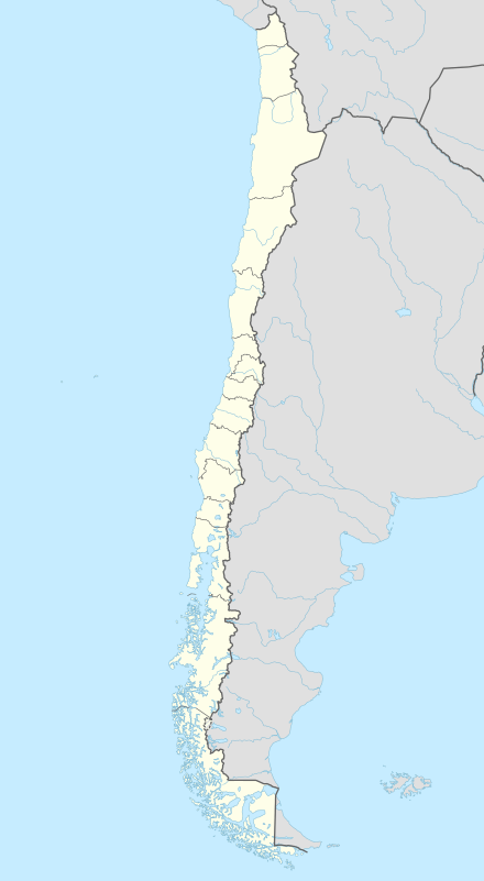 SCDW Location of Almirante Schoeders Airport in Chile | |||||||||||||||
| Runways | |||||||||||||||
| |||||||||||||||
Almirante Schoeders Airport (Spanish: Aeropuerto de Almirante Schoeders, ICAO: SCDW) is a military airport located 51 kilometres (32 mi) north-northeast of Isla Dawson, Magallanes y Antártica Chilena, Chile.
See also
References
- ↑ Airport record for Almirante Schoeders Airport at Landings.com. Retrieved 2013-09-06
- ↑ Google (2013-09-06). "location of Almirante Schoeders Airport" (Map). Google Maps. Google. Retrieved 2013-09-06.
External links
- Airport record for Almirante Schoeders Airport at Landings.com
This article is issued from Wikipedia - version of the 11/8/2016. The text is available under the Creative Commons Attribution/Share Alike but additional terms may apply for the media files.