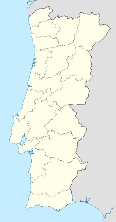
Almofala
| Almofala | ||
|---|---|---|
| Parish | ||
| ||
 Almofala | ||
| Coordinates: 40°57′11″N 7°47′35″W / 40.953°N 7.793°WCoordinates: 40°57′11″N 7°47′35″W / 40.953°N 7.793°W | ||
| Country | Portugal | |
| Municipality | Castro Daire | |
| Area | ||
| • Total | 18.60 km2 (7.18 sq mi) | |
| Population (2011) | ||
| • Total | 228 | |
| • Density | 12/km2 (32/sq mi) | |
| Website | http://www.almofala-castrodaire.com | |
Almofala is a civil parish in the municipality of Castro Daire, Portugal. The population in 2011 was 228,[1] in an area of 18.60 km².[2]
Demographics
| Population of Almofala (1801–2004) | ||||||||||
|---|---|---|---|---|---|---|---|---|---|---|
| 1911 | 1920 | 1930 | 1940 | 1950 | 1960 | 1970 | 1981 | 1991 | 2001 | 2011 |
| 500 | 515 | 550 | 585 | 728 | 714 | 685 | 547 | 367 | 279 | 228 |
References
- ↑ Instituto Nacional de Estatística
- ↑ Eurostat Archived September 6, 2014, at the Wayback Machine.
This article is issued from Wikipedia - version of the 11/14/2016. The text is available under the Creative Commons Attribution/Share Alike but additional terms may apply for the media files.
