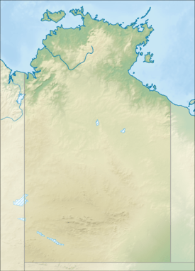
Anna's Reservoir Conservation Reserve
| Anna's Reservoir Conservation Reserve Northern Territory | |
|---|---|
|
IUCN category V (protected landscape/seascape) | |
 Anna's Reservoir Conservation Reserve | |
| Coordinates | 22°38′00″S 133°09′00″E / 22.63333°S 133.15000°ECoordinates: 22°38′00″S 133°09′00″E / 22.63333°S 133.15000°E |
| Established | 1971[1] |
| Area | 85 hectares (210 acres)[1] |
| Managing authorities | Parks and Wildlife Commission |
| See also | Protected areas of the Northern Territory |
Anna's Reservoir Conservation Reserve is a conservation reserve in the Northern Territory of Australia.
It is located approximately 165 kilometres (103 mi) north of Alice Springs and is within the boundaries of Aileron Station.[2]
The traditional owners of the area are the Anmatyerre peoples.[3]
The first European to visit the area was John McDouall Stuart in April 1860 while on expedition through the area. Stuart named the rock-hole after the youngest daughter of James Chambers, who had sponsored the expedition.Stuart visited the rock-hole on his next three attempts to rach the north coast of Australia. Other travellers and the builders of the Overland Telegraph Line all used the reservoir for water.[4]
Alfred Giles made use of the reservoir when overlanding 4,000 cattle and 8,000 sheep to establish Springvale Station near Katherine in 1879.
See also
Protected areas of the Northern Territory
References
- 1 2 "Terrestrial Protected Areas by Reserve Type in the Northern Territory (2012)". Department of Environment. 2012. Retrieved 28 March 2015.
- ↑ "Anna's Reservoir Conservation Reserve". Australian Heritage Places Inventory. Retrieved 29 March 2015.
- ↑ "Provision for Cultural Values in Water Management: The Anmatyerr Story" (PDF). Australian Government. 1 February 2008. Retrieved 29 March 2015.
- ↑ "Annas Reservoir Conservation Reserve". Parks and Wildlife Commission. Retrieved 29 March 2015.