Armada gasfield
| Armada gasfields | |
|---|---|
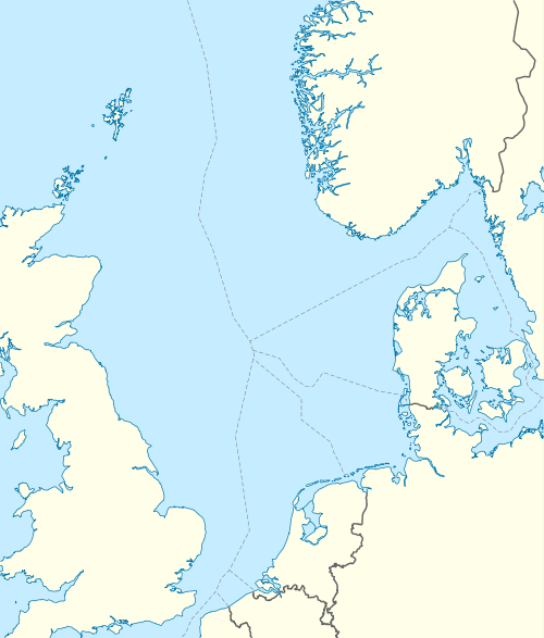 Location of Armada gasfields | |
| Country | Scotland, United Kingdom |
| Region | Central North Sea |
| Block | 16/29a, 16/29c 22/5a, 22/5b, 22/4a |
| Offshore/onshore | offshore |
| Coordinates | 57°57′36″N 1°48′58″E / 57.96°N 1.816°ECoordinates: 57°57′36″N 1°48′58″E / 57.96°N 1.816°E |
| Operator | BG Group |
| Partners | BG Group, Centrica, Total |
| Field history | |
| Discovery | 1980 |
| Start of development | 1994 |
| Start of production | 1997 |
| Production | |
| Current production of oil | 24,000 barrels per day (~1.2×10⁶ t/a) |
| Current production of gas | 450×106 cu ft/d (13×106 m3/d) |
| Estimated oil in place |
7.9 million tonnes (~ 9.2×10⁶ m3 or 58 MMbbl) |
| Estimated gas in place | 34.15×10⁹ m3 (1.206×10¹² cu ft) |
| Producing formations | Palaeocene Maureen sandstone, Jurassic Ula sandstone |
The Armada gas field complex is a group of natural gas fields located in the Central North Sea 250 kilometres (160 mi) NE of Aberdeen, within the United Kingdom Continental Shelf. The field is operated by BG Group. The complex consists of several fields developed via a central platform located in 88 metres (289 ft) of water. The field was discovered in 1980. Development approval was granted in 1994 and production started in 1997. The gas is exported via the Central Area Transmission System through a link to the Everest gasfield. Oil is exported via the Forties oil field to Grangemouth. The fields had a maximum production rate of 450 million cubic feet per day (13×106 m3/d) and 24 thousand barrels per day (3.8×10³ m3/d).[1]
Fields
All fields are named after British sailors who fought the Spanish Armada.
- Fleming - this field has a Palaeocene Maureen Formation turbidite sandstone reservoir pinching out to the east. It is developed via 6 extended reach wells.
- Drake - This field has a Jurassic Ula Formation sandtsone reservoir and is developed via two production wells.
- Hawkins - This field has a Jurassic sandstone reservoir and is developed via a single well.
- Seymour - SW Seymour has a Jurassic reservoir and is developed via a single well from the platform. NW Seymour is an oilfield developed via a single sub-sea well.
The Maria Field, located in adjacent UKCS block 16/29 a is developed via a sub-sea manifold tied back to the Armada Platform.
References
- BG Group Page
- DECC data page
- I.A. Stuart The Armada development in United Kingdom oil and gas fields: commemorative millennium volume , Jon G. Gluyas, H. M. Hichens
- DTI brown book from 2001