Arvati
| Arvati Арвати Arvat | |
|---|---|
| Village | |
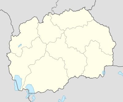 Arvati Location within Macedonia | |
| Coordinates: 40°56′37″N 21°06′47″E / 40.94361°N 21.11306°E | |
| Country |
|
| Municipality | Resen Municipality |
| Population (2002) | |
| • Total | 137 |
| Time zone | CET (UTC+1) |
| • Summer (DST) | CEST (UTC+2) |
| Area code(s) | +389 |
| Car plates | RE |
Arvati (Macedonian: Арвати; Albanian: Arvat/i) is a village in the Resen Municipality of the Republic of Macedonia. Located 18.5 kilometres (11.5 mi) from the municipal centre of Resen,[1] the village has 137 residents.[2] It is situated east of Lake Prespa, at the foot of Baba Mountain.
History
In the 19th century, Arvati was part of the Manastir Sanjak, a subdivision of the Manastir Vilayet of the Ottoman Empire. In 1873, the village was recorded as having 45 households and 136 male inhabitants.[3] A few decades later, in 1905, Arvati's population consisted of 200 members of the Bulgarian Exarchate and 186 Albanians.[4]
Demographics
Arvati's population has historically consisted of Macedonians and Albanians, with the latter forming a majority,[5] much like the neighboring village of Krani.
| Ethnic group |
census 1961 | census 1971 | census 1981 | census 1991 | census 1994 | census 2002 | ||||||
|---|---|---|---|---|---|---|---|---|---|---|---|---|
| Number | % | Number | % | Number | % | Number | % | Number | % | Number | % | |
| Macedonians | 179 | 36.5 | 150 | 28.0 | 160 | 31.6 | 149 | 28.9 | 54 | 29.5 | 51 | 37.2 |
| Albanians | 310 | 63.3 | 383 | 71.5 | 344 | 67.9 | 366 | 71.1 | 129 | 70.5 | 85 | 62.0 |
| others | 1 | 0.2 | 3 | 0.6 | 3 | 0.6 | 0 | 0.0 | 0 | 0.0 | 1 | 0.5 |
| Total | 490 | 536 | 507 | 515 | 183 | 137 | ||||||
The mothers tongues of the residents, much like the ethnic affiliations, include 51 native Macedonian speakers, 84 Albanian speakers, and two with a different mother tongue.[6]
Religion
The religious affiliations of the village's residents also followed ethnic lines, with 51 identifying as Orthodox Christians, 85 as Muslims, and one as something else, as of the 2002 census.[6]
Arvati is home to four churches dedicated to St Nicholas, Sts Constantine and Elena, St Archangel Michael, and the Ascension of the Virgin Mary.[7]
References
- ↑ "Arvati". Retrieved 31 July 2013.
- ↑ Municipality of Resen
- ↑ „Македония и Одринско. Статистика на населението от 1873 г.“ Македонски научен институт, Sofia, 1995, стр. 88-89.
- ↑ D.M.Brancoff. "La Macédoine et sa Population Chrétienne". Paris, 1905, рр. 170-171.
- ↑ Censuses of population 1948 - 2002
- 1 2 "Macedonian census, language and religion" (PDF). Retrieved 2013-09-03.
- ↑ "Karta na Verski Objekti vo Republika Makedonija" (PDF) (in Macedonian). Skopje: Komisija za odnosi so verskite zaednici i religiozni grupi. Retrieved 27 April 2014.
External links
| Town / Municipal Centre | |
|---|---|
| Villages |
|
| Depopulated places | |
Coordinates: 40°56′N 21°06′E / 40.933°N 21.100°E