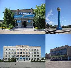
Atbasar
| Atbasar Атбасар | |
|---|---|
 | |
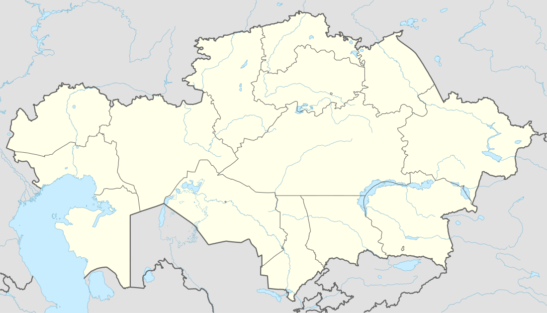 Atbasar Location in Kazakhstan | |
| Coordinates: 51°48′N 68°20′E / 51.800°N 68.333°ECoordinates: 51°48′N 68°20′E / 51.800°N 68.333°E | |
| Country |
|
| Region | Akmola Region |
| Population (2012) | |
| • Total | 29,984 |
| Time zone | Omsk Time (UTC+6) |
| Area code(s) | +7 71643 |
Atbasar is a town in Akmola Region of the northern Kazakhstan. It was founded in 1845. Atbasar is the 44th biggest city in Kazakhstan. Atbasar lies at an altitude of 282 meters above sea level. Population: 30,436 (2009 Census results);[1]32,288 (1999 Census results).[1]
Climate
| Climate data for Atbasar | |||||||||||||
|---|---|---|---|---|---|---|---|---|---|---|---|---|---|
| Month | Jan | Feb | Mar | Apr | May | Jun | Jul | Aug | Sep | Oct | Nov | Dec | Year |
| Average high °C (°F) | −14 (7) |
−13 (9) |
−6 (21) |
7 (45) |
20 (68) |
25 (77) |
27 (81) |
26 (78) |
19 (66) |
8 (47) |
−3 (26) |
−11 (12) |
7 (45) |
| Average low °C (°F) | −23 (−10) |
−23 (−9) |
−17 (1) |
−4 (25) |
4 (40) |
10 (50) |
13 (55) |
11 (51) |
4 (40) |
−3 (27) |
−12 (10) |
−21 (−5) |
−5 (23) |
| Average precipitation mm (inches) | 23 (0.9) |
23 (0.9) |
28 (1.1) |
20 (0.8) |
41 (1.6) |
30 (1.2) |
50 (2) |
36 (1.4) |
30 (1.2) |
20 (0.8) |
15 (0.6) |
13 (0.5) |
328 (12.9) |
| Source: Weatherbase [2] | |||||||||||||
References
- 1 2 "Население Республики Казахстан" (in Russian). Департамент социальной и демографической статистики. Retrieved 8 December 2013.
- ↑ "Weatherbase: Historical Weather for Atbasar, Kazakhstan". Weatherbase. 2011. Retrieved on November 24, 2011.
External links
Capital: Kokshetau | ||
| Districts | 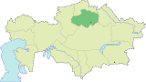 | |
| Major cities | ||
This article is issued from Wikipedia - version of the 9/19/2016. The text is available under the Creative Commons Attribution/Share Alike but additional terms may apply for the media files.