Azokh
Coordinates: 39°37′14″N 46°58′42″E / 39.62056°N 46.97833°E
| Azokh Ազոխ | |
|---|---|
 Azokh | |
| Coordinates: 39°37′14″N 46°58′42″E / 39.62056°N 46.97833°E | |
| Country (de facto) |
|
| • Region | Hadrut Region |
| Country (de jure) |
|
| • District | Khojavend District |
| Elevation | 686 m (2,251 ft) |
| Population (2005) | |
| • Total | 795 |
| Time zone | AZT (UTC+5) |
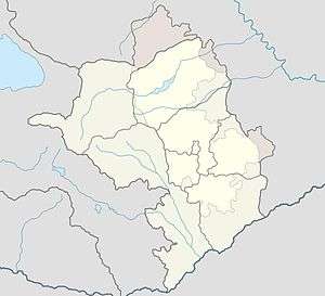
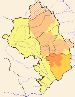
Azokh (Armenian: Ազոխ, Azerbaijani: Azıx) is a village in the Khojavend Rayon of Azerbaijan and Hadrut Province of the Nagorno-Karabakh Republic, and is situated on the small river Ishhanaget (Armenian: Իշխանագետ), near to the Azykh Cave.
Etymology
According to Shahen Mkrtchyan, the name of the village comes from the Armenian word, azokh which means unripe grapes. It is believed the Azeri name comes from the word azyh which means bear den.
History
Azokh was first mentioned in the fifth century during Vardan Mamikonian's rebellion against the Sasanian Empire in 451 and also during the Mongol invasions of Georgia and Armenia. Azokh was part of the Principality of Dizak from the 10th century until its dissolution in the late 18th century. In the early 19th century, immigrants from Karadag, Iran settled in the village. During the Nagorno-Karabakh War, the village was liberated by the Armenian Army and Nagorno-Karabakh Defense Army in 1993.
.svg.png)
