Balne
Coordinates: 53°39′52″N 1°06′46″W / 53.66458°N 1.1129°W
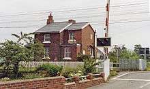
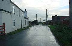
Balne is a village and civil parish in the Selby district of North Yorkshire in England, south of Selby. According to the 2001 census the parish had a population of 231, reducing to 224 at the 2011 census.[1] The parish is bound to the north-east by the East Riding of Yorkshire and to the south by the Metropolitan Borough of Doncaster in South Yorkshire.
The village formed the centre of the ancient district of Balne, which consisted of the eastern part of the Osgoldcross wapentake, probably including all the land between the River Don and the River Aire. Places such as Walden Stubbs and Fishlake were formerly described as being "-in-Balne", and Thorpe-in-Balne still is. Balne Croft Common near Thorne may have been a detached part of the township of Balne.[2]
Balne near Snaith, of which we have the following early spellings:
PF 1 167 Baune LC 1296 Balne
SC 1 197 Balnehale DN 1317 Balne
AR ti2i6 Belri DN 1336 Balnehecke
HR 1276 Balnehal PT 1379 Balne
In the 14th century the forms Baulne and Bawne appear occasionally; and in the 16th century we find YD 1530 and YF 1565 Balme. It seems clear, therefore, that Balme and Bawn are simply variations of Balne.
Balne is also a surname.
_1749656_4b37f827.jpg)

References
- ↑ "Parish population 2011". Neighbourhood Statistics. Office for National Statistics. Retrieved 16 August 2015.
- ↑ David Hey, Medieval South Yorkshire
External links
![]() Media related to Balne at Wikimedia Commons
Media related to Balne at Wikimedia Commons

