Baqat al-Hatab
| Baqat al-Hatab | |
|---|---|
| Other transcription(s) | |
| • Arabic | باقة الحطب |
 Baqat al-Hatab Location of Baqat al-Hatab within the Palestinian territories | |
| Coordinates: 32°12′17.05″N 35°06′53.47″E / 32.2047361°N 35.1148528°ECoordinates: 32°12′17.05″N 35°06′53.47″E / 32.2047361°N 35.1148528°E | |
| Governorate | Qalqilya |
| Government | |
| • Type | Local Development Committee |
| Population (2006) | |
| • Jurisdiction | 1,748 |
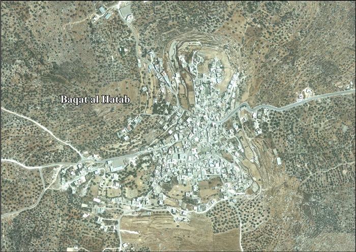
Baqat al-Hatab (Arabic: باقة الحطب) is a Palestinian town in the Qalqilya Governorate in the western area of the West Bank, located 20 kilometers southwest of Nablus. According to the Palestinian Central Bureau of Statistics, the village had a population of approximately 1,748 inhabitants in 2006.[1]
References
Bibliography
- Barron, J. B., ed. (1923). Palestine: Report and General Abstracts of the Census of 1922. Government of Palestine.
- Conder, Claude Reignier; Kitchener, H. H. (1882). The Survey of Western Palestine: Memoirs of the Topography, Orography, Hydrography, and Archaeology. 2. London: Committee of the Palestine Exploration Fund. (p. 164)
- Hadawi, Sami (1970). Village Statistics of 1945: A Classification of Land and Area ownership in Palestine. Palestine Liberation Organization Research Center. (p. 59)
- Mills, E., ed. (1932). Census of Palestine 1931. Population of Villages, Towns and Administrative Areas. Jerusalem: Government of Palestine.
- Palmer, E. H. (1881). The Survey of Western Palestine: Arabic and English Name Lists Collected During the Survey by Lieutenants Conder and Kitchener, R. E. Transliterated and Explained by E.H. Palmer. Committee of the Palestine Exploration Fund. (p. 179)
External links
- Welcome To Baqat al-Hatab
- Survey of Western Palestine, Map 11: IAA, Wikimedia commons
- Baqat Al Hatab (Fact Sheet), ARIJ
- Baqat al Hatab Village Profile, ARIJ
- Baqat al Hatab - aerial photo, ARIJ
- Development Priorities and Needs in Baqat al Hatab, ARIJ
| Cities |  | |
|---|---|---|
| Municipalities |
| |
| Villages |
| |
This article is issued from Wikipedia - version of the 9/6/2016. The text is available under the Creative Commons Attribution/Share Alike but additional terms may apply for the media files.