Baranoa
| Baranoa | |||
|---|---|---|---|
| Municipality and town | |||
| |||
 Location of the municipality and town of Baranoa in the Department of Atlántico. | |||
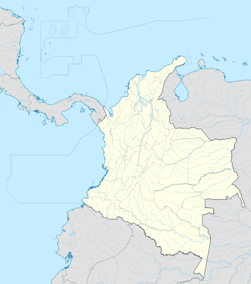 Baranoa Location of the municipality and town of Baranoa in the Department of Atlántico. | |||
| Coordinates: 10°48′N 74°55′W / 10.800°N 74.917°W | |||
| Country |
| ||
| Region | Caribbean | ||
| Department | Atlántico | ||
| Founded | 1543 | ||
| Government | |||
| • Mayor | Lázaro Rafael Escalante Estrada (2016-2019) | ||
| Area | |||
| • Total | 127 km2 (49 sq mi) | ||
| Elevation | 118 m (387 ft) | ||
| Population (2005) | |||
| • Total | 50,261 | ||
| • Density | 400/km2 (1,000/sq mi) | ||
| [1] | |||
| Demonym(s) | Baranoero | ||
| Area code(s) | 57 + 5 | ||
| Website | Official website (Spanish) | ||
.svg.png)

Baranoa is a municipality and town in the Colombian department of Atlántico, located 22 km south of Barranquilla. The municipality occupies an area of 127 km2, including rural, urban, suburban and protected land. Baranoa has 55,178 inhabitants (2006 Census), 82.63% of these are concentrated in the urban town and 17.37% in rural areas.
Geography
The municipality of Baranoa, is irrigated by several creeks including Santa Rosa, Campeche, Big creek and Deep creek.
History
Baranoa was an indigenous settlement located close to the Big Creek (Arroyo Grande) when the Spanish conquers under the commandament of Don Pedro de Heredia discover it in 1534.
In October 1543, it was commended by the Spanish Crown to Hernando Dávila. Further commendements were given to Inés de Mendoza (1556), Hernando De la Salas (1568) and José De las Salas (1609). The Viceroy Sebastian de Eslava order a reformation of the town between 1744 and 1745. As a consequence, 39 Spanish families made their home in Baranoa, creating the Parish of Santa Ana of Baranoa.
On 23 October 1856, it was created the municipality of Baranoa, based on the number of inhabitants the parish had, and its level of development. The municipality category, as well as its boundaries, was ratified on 16 December 1964.
Economy
Economic activities are focused on cattle raising, corn, cassava, cotton and Jocote plum farming. There is a Plum Festival, famous in northern Colombia. There are mining sites for calcite, and iron minerals.
Notes
- ↑ DANE 2005 Census: Baranoa (Spanish)
References
- (Spanish) Municipality of Baranoa, website
Municipalities in the Atlántico Department | ||
|---|---|---|
Coordinates: 10°48′N 74°55′W / 10.800°N 74.917°W