Barrclashcame
| Barrclashcame | |
|---|---|
| Barr Chlais Céim | |
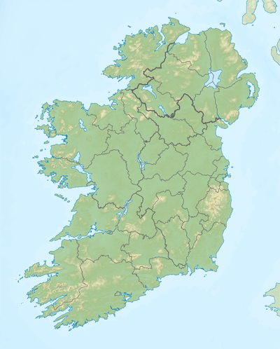 Barrclashcame Location in Ireland | |
| Highest point | |
| Elevation | 772 m (2,533 ft) [1][2] |
| Prominence | 707 m (2,320 ft) [1] |
| Listing | Hewitt, Marilyn |
| Coordinates | 53°39′46″N 9°44′31″W / 53.662731°N 9.741944°WCoordinates: 53°39′46″N 9°44′31″W / 53.662731°N 9.741944°W |
| Naming | |
| Translation | top of Clais Céim (Irish) |
| Geography | |
| Location | County Mayo, Republic of Ireland |
| Parent range | Sheeffry Hills |
| OSI/OSNI grid | L849695 |
Barrclashcame (from Irish: Barr Chlais Céim, meaning "top of Clais Céim")[1] is a 772 m (2,533 ft) mountain in County Mayo, Ireland.
Geography
The mountain is in the townland of Clashcame and is the highest peak of the Sheeffry Hills.[1]
A short distance to the northwest is the peak called Barrclashcame Northwest or Storikeennageer (580 m)[3] and to the northeast is the peak of Tievummera (762 m).[4] The mountain overlooks Doo Lough, Glencullin and Glenummera (to the south and west), which separate it from Mweelrea and Ben Gorm.
See also
References
- 1 2 3 4 "Barrclashcame". MountainViews.ie. Retrieved 2012-01-28.
- ↑ "Clashcame". Peakbagger.com. Retrieved 2012-01-28.
- ↑ MountainViews.ie - Barrclashcame Northwest
- ↑ MountainViews.ie - Tievummera
Mountains and hills of Connacht | ||
|---|---|---|
| Achill Island |  | |
| Dartry Mountains | ||
| Maumturks | ||
| Nephin Range | ||
| Ox Mountains | ||
| Partry Mountains | ||
| Sheeffry Range | ||
| Twelve Bens | ||
| Others | ||
Lists of Marilyns | |
|---|---|
This article is issued from Wikipedia - version of the 11/22/2016. The text is available under the Creative Commons Attribution/Share Alike but additional terms may apply for the media files.