Begoro
| Begoro | ||
|---|---|---|
| Town | ||
| ||
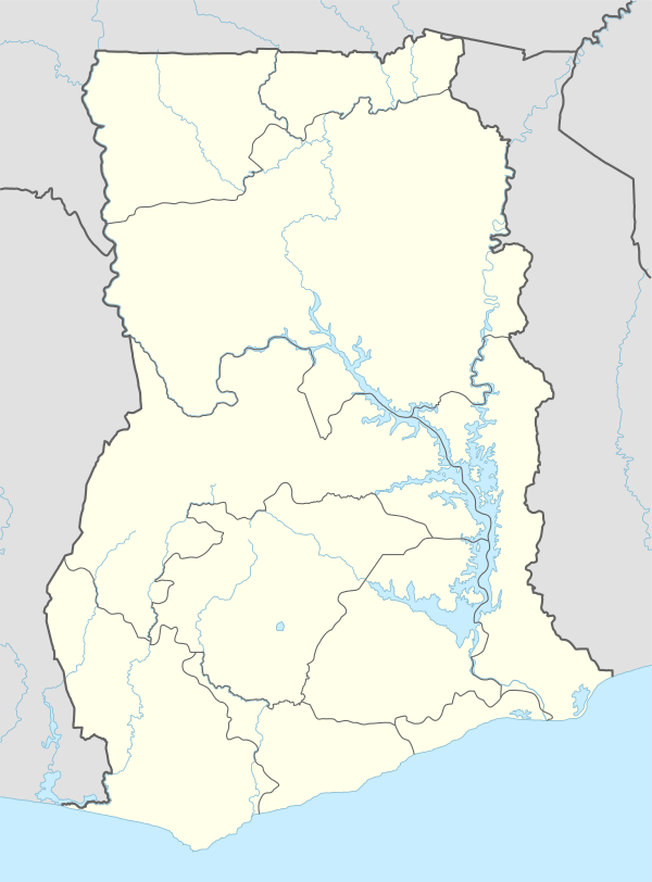
 Begoro Location of Begoro in Eastern Region, Ghana | ||
| Coordinates: 6°23′N 0°23′W / 6.383°N 0.383°W | ||
| Region | Eastern Region | |
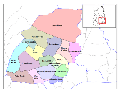
| District | Fanteakwa District | |
| Population (2013) | ||
| • Total | 29,516[1] | |
| Time zone | GMT | |
| • Summer (DST) | GMT (UTC) | |
Begoro is a town and the capital of Fanteakwa district, a district in the Eastern Region of south Ghana.[2] Begoro has a settlement population of 29,516 people, in 2013.[1]
Geography
Begoro is about 150 km north of Accra, off the road joining Koforidua and Nkawkaw.
Twin towns and cities
List of sister cities of Fanteakwa, designated by Sister Cities International:
| Country | City | County / District / Region / State | Date | Ref. | |||
|---|---|---|---|---|---|---|---|
| |
England | |
York | |
North Yorkshire | [3][4] |
References
- 1 2 "World Gazetteer online". World-gazetteer.com.
- ↑ Fanteakwa district
- ↑ York Fanteakwa Community Link (YFCL)
- 1 2 Information on Yowla site
External links
Coordinates: 6°23′N 0°23′W / 6.383°N 0.383°W
This article is issued from Wikipedia - version of the 2/9/2016. The text is available under the Creative Commons Attribution/Share Alike but additional terms may apply for the media files.

