Biwong-Bulu
| Biwong-Bulu | |
|---|---|
| Commune and town | |
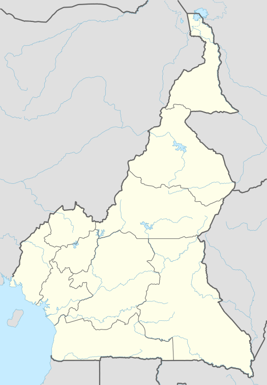 Biwong-Bulu Location in Cameroon | |
| Coordinates: CM 3°08′00″N 11°09′00″E / 3.1333°N 11.1500°ECoordinates: CM 3°08′00″N 11°09′00″E / 3.1333°N 11.1500°E | |
| Country |
|
| Region | South |
| Department | Mvila |
| Area[1] | |
| • Total | 558.06 sq mi (1,445.37 km2) |
| Population [1] | |
| • Total | 34,374 |
| • Density | 61.6/sq mi (23.78/km2) |
| Time zone | WAT (UTC+1) |
Biwong-Bulu is a town and commune in the Mvila department of the South Region of Cameroon.
Name
The name Biwong-Bulu is derived from "Bulu", the name of the main ethnic group of the area, and "Biwong", the Bulu phrase "to gather something rare".[1]
History
The Biwong-Bulu commune was created from the splitting of the former Ebolowa Rural Commune by presidential decree on April 24, 2007.[1]
Geography
Biwong-Bulu has an area of 1,445.37 km2 (558.06 sq mi). The terrain is largely flat, with plains and plateaus and a few hills.[1]
Demographics
The commune is home to 34,374 inhabitants, resulting in a population density of 23.78 inhabitants per square kilometer (61.6/sq mi).[1]
Climate
Biwong-Bulu has a tropical climate. Rainfall is usually between 1,200–2,000 mm (47–79 in) per year. The temperature is warm year-round, hovering around 22–26 °C (72–79 °F).[1]
See also
References
- Site de la primature - Élections municipales 2002 (French)
- Contrôle de gestion et performance des services publics communaux des villes camerounaises - Thèse de Donation Avele, Université Montesquieu Bordeaux IV (French)
- Charles Nanga, La réforme de l’administration territoriale au Cameroun à la lumière de la loi constitutionnelle n° 96/06 du 18 janvier 1996, Mémoire ENA. (French)