Black Creek (Big Rideau Lake)
For other places with the same name, see Black Creek.
| Black Creek | |
| River | |
| Country | Canada |
|---|---|
| Province | Ontario |
| Region | Eastern Ontario |
| Counties | Lanark, Leeds and Grenville |
| Municipalities | Tay Valley, Rideau Lakes |
| Part of | Saint Lawrence River drainage basin |
| Source | Unnamed lake |
| - location | Rideau Lakes |
| - elevation | 147 m (482 ft) |
| - coordinates | 44°44′52″N 76°20′49″W / 44.74778°N 76.34694°W |
| Mouth | Big Rideau Lake |
| - location | Tay Valley |
| - elevation | 123.1 m (404 ft) |
| - coordinates | 44°46′19″N 76°14′02″W / 44.77194°N 76.23389°WCoordinates: 44°46′19″N 76°14′02″W / 44.77194°N 76.23389°W |
| Basin | 94 km2 (36 sq mi) |
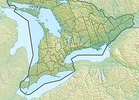 Location of the mouth of Black Creek in southern Ontario
| |
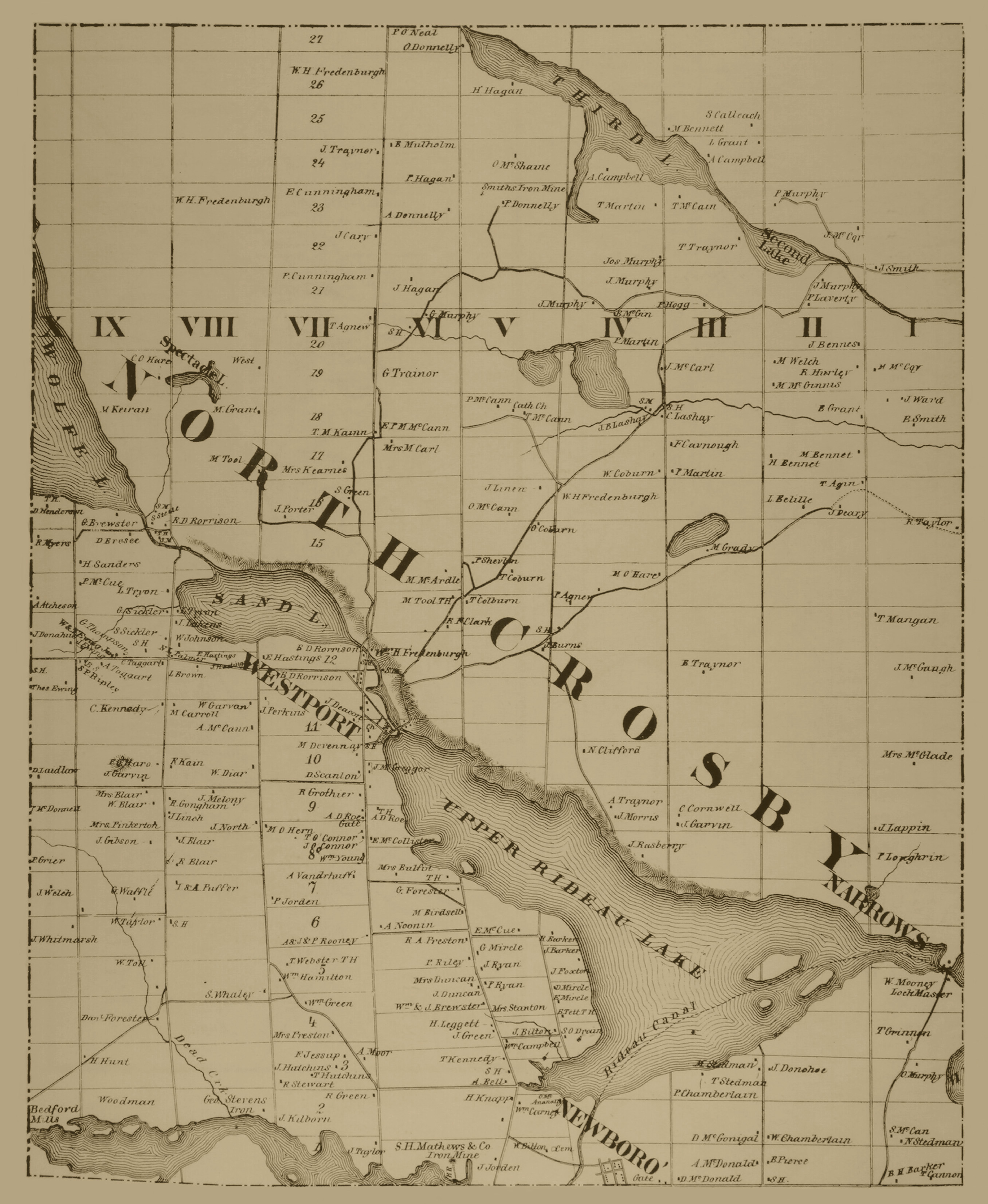
Black Creek is a stream in the municipalities of Tay Valley, Lanark County and Rideau Lakes, United Counties of Leeds and Grenville in Eastern Ontario, Canada.[1] It flows from an unnamed lake in Rideau Lakes[2] to the west shore of Big Rideau Lake in Tay Valley.[3] Big Rideau Lake, on the Rideau Canal, flows via the Rideau River and Ottawa River to the Saint Lawrence River. The stream has a drainage basin of 94 square kilometres (36 sq mi).[4]
References
- ↑ "Black Creek". Geographical Names Data Base. Natural Resources Canada. Retrieved 2015-07-20.
- ↑ "Township of Crosby North" (JPG). Canadian County Atlas Project. McGill University. 2001. Retrieved 2015-07-20.
- ↑ "Township of Burgess North" (JPG). Canadian County Atlas Project. McGill University. 2001. Retrieved 2015-07-20.
- ↑ "Subwatershed Reporting — Rideau Lakes". Rideau Valley Conservation Authority. 2014. Retrieved 2015-07-20.
Other map sources:
- Map 6 (PDF) (Map). 1 : 700,000. Official road map of Ontario. Ministry of Transportation of Ontario. 2014. Retrieved 2015-07-20.
- Restructured municipalities - Ontario map #5 (Map). Restructuring Maps of Ontario. Ontario Ministry of Municipal Affairs and Housing. 2006. Retrieved 2015-07-20.
This article is issued from Wikipedia - version of the 5/20/2016. The text is available under the Creative Commons Attribution/Share Alike but additional terms may apply for the media files.