Boroštica
| Boroštica | |
|---|---|
| Village | |
 Boroštica | |
| Coordinates: RS 43°03′23″N 20°06′12″E / 43.05639°N 20.10333°E | |
| Country |
|
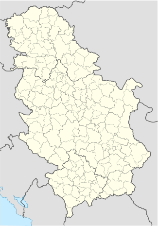
| District | Raška District |
| Municipality | Tutin |
| Elevation | 1,136 m (3,727 ft) |
| Population (2011) | |
| • Total | 325 |
| Time zone | CET (UTC+1) |
| • Summer (DST) | CEST (UTC+2) |
| Area code(s) | 020 |
| Vehicle registration | NP |
Boroštica is a village in the municipality of Tutin, Serbia. According to the 2002 census, the village has a population of 379 people.[1][2]
References
- ↑ Popis stanovništva, domaćinstava i Stanova 2002. Knjiga 1: Nacionalna ili etnička pripadnost po naseljima. Republika Srbija, Republički zavod za statistiku Beograd 2003. ISBN 86-84433-00-9
- ↑ Andrea Pieroni, Maria Elena Giusti, & Cassandra L. Quave (2011). "Cross-cultural ethnobiology in the Western Balkans: medical ethnobotany and ethnozoology among Albanians and Serbs in the Pešter Plateau, Sandžak, South-Western Serbia." Human Ecology. 39.(3): 335. "The current population of the Albanian villages is partly “bosniakicised”, since in the last two generations a number of Albanian males began to intermarry with (Muslim) Bosniak women of Pešter. This is one of the reasons why locals in Ugao were declared to be “Bosniaks” in the last census of 2002, or, in Boroštica, to be simply “Muslims”, and in both cases abandoning the previous ethnic label of “Albanians”, which these villages used in the census conducted during “Yugoslavian” times. A number of our informants confirmed that the self-attribution “Albanian” was purposely abandoned in order to avoid problems following the Yugoslav Wars and associated violent incursions of Serbian para-military forces in the area. The oldest generation of the villagers however are still fluent in a dialect of Ghegh Albanian, which appears to have been neglected by European linguists thus far. Additionally, the presence of an Albanian minority in this area has never been brought to the attention of international stakeholders by either the former Yugoslav or the current Serbian authorities."
Coordinates: 43°03′N 20°06′E / 43.050°N 20.100°E
This article is issued from Wikipedia - version of the 4/12/2015. The text is available under the Creative Commons Attribution/Share Alike but additional terms may apply for the media files.