Bossingham
Coordinates: 51°11′59″N 1°04′38″E / 51.1996°N 1.0772°E
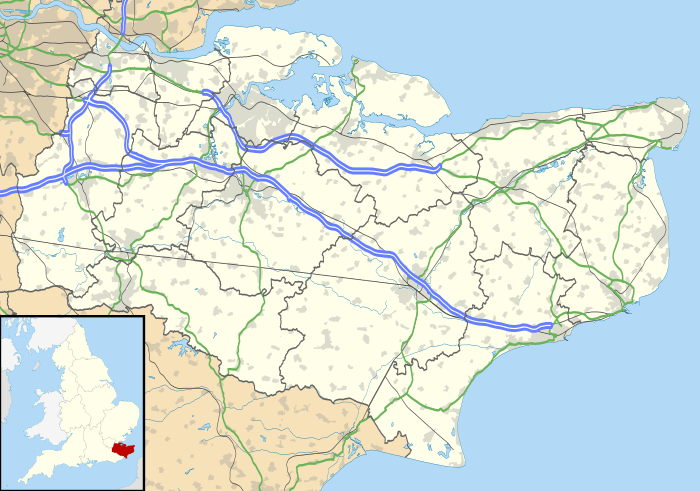
Bossingham is a large hamlet in the City of Canterbury District of Kent, England. It is located about five miles (8 km) south of Canterbury, and 2 miles (3.2 km) north of Stelling Minnis on a parallel road to the Roman road of Stone Street (the B2068 road).
There is one public house – the Hop Pocket, named after the large sacks in which hops were transported.
External links
![]() Media related to Bossingham at Wikimedia Commons
Media related to Bossingham at Wikimedia Commons
This article is issued from Wikipedia - version of the 1/23/2016. The text is available under the Creative Commons Attribution/Share Alike but additional terms may apply for the media files.
