Brandy Hill, Wales
| Brandy Hill | |
|---|---|
 | |
| Highest point | |
| Elevation | 206 m (676 ft) |
| Prominence | 152 m (499 ft) |
| Parent peak | Foel Cwmcerwyn |
| Listing | Marilyn |
| Coordinates | 51°47′27″N 4°35′31″W / 51.7907°N 4.5919°WCoordinates: 51°47′27″N 4°35′31″W / 51.7907°N 4.5919°W |
| Geography | |
| Location | Carmarthenshire, Wales |
| OS grid | SN213133 |
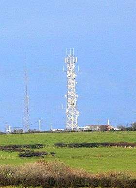
Brandy Hill is a hill in South Wales between Pendine and Whitland, and south-west of St. Clears. At the summit stand a radio transmitter and a trig point.
This article is issued from Wikipedia - version of the 6/14/2015. The text is available under the Creative Commons Attribution/Share Alike but additional terms may apply for the media files.