Caleta Tortel
| Caleta Tortel | |
|---|---|
|
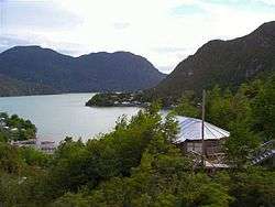
View of Caleta Tortel with its wooden walkways | |
 Caleta Tortel | |
| Coordinates: 47°47′S 73°32′W / 47.783°S 73.533°WCoordinates: 47°47′S 73°32′W / 47.783°S 73.533°W | |
| Country |
|
| Region | Aisén |
| Province | Capitán Prat |
| Municipalidad | Tortel |
| Comuna | Tortel |
| Government | |
| • Type | Municipalidad |
| • Alcalde | Bernardo López Sierra |
| Population (2002 census ) | |
| • Total | 320 |
| Time zone | Chilean Standard (UTC−04:00) |
| • Summer (DST) | Chilean Daylight (UTC−03:00) |
| Area code(s) | Country + town = 56 + ? |
| Climate | Cfb |
| Website | http://www.municipalidaddetortel.cl/ |
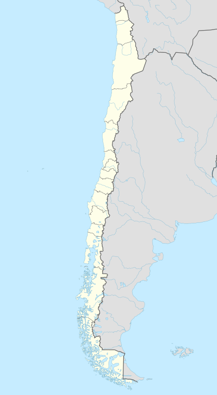
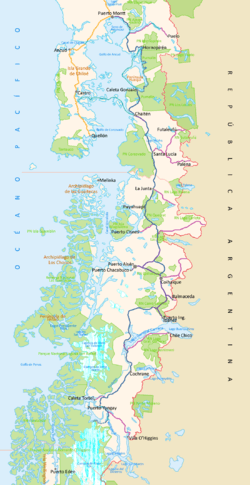
Caleta Tortel is a coastal village (Spanish: aldea) in Chile. It is the administrative centre of the commune of Tortel and is located between the mouth of the Baker River the largest river in Chile and a small embayment of the Baker Channel. The surrounding geography is rugged, formed by a number of islands, fjords, channels and estuaries. The village was founded in 1955 to exploit the cypress de las guaytecas or Guaytecas Cypress (Pilgerodendron uviferum) wood that was abundant in the area. The timber business accounts for most of the economy in Tortel to this day. For most of its history the village had only air and boat access; the road was constructed only in 2003, and connects Caleta Tortel with the Carretera Austral.
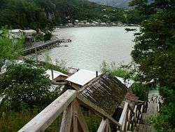
Caleta Tortel consists mainly of stilt houses, typical of Chilotan architecture, built along the coast for several kilometers. There are no conventional streets - instead there are wooden walkways build with Guaitecas Cypress. The wooden walkways give the village its distinctive look and its unique culture.[1]
There is one school in Caleta Tortel, called Escuela Comandante Luis Bravo Bravo, inaugurated by the Chilean Navy in 1978 it runs up to 8th grade and has about 90 students total. There are no banks or cash points except for BancoEstado clients, but there is Entel cellphone coverage, line phones and access to the internet. There is a rural health centre, police checkpoint, fire-fighters, harbour master, municipality and civil registration.
Boat tours to Jorge Montt Glacier and other places are available from the village. The village is served by a nearby Río Bravo Airport; the airstrip is 600m long and 23m wide.
See also
References
- ↑ Tortel walkways Atlas vivo de chile, retrieved December 09, 2013
External links
- * (English) Tortel walkways in Living Atlas Chile
- http://lavozdetortel.patagones.cl La Voz de Tortel