Calvert, Newfoundland and Labrador
| Calvert, Newfoundland and Labrador | |
|---|---|
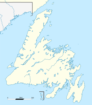 Location of Calvert in Newfoundland | |
| Coordinates: 47°03′11″N 52°54′39″W / 47.05306°N 52.91083°W | |
| Country |
|
| Province |
|
| Government | |
| • MHA | Keith Hutchings |
| • MP | Scott Andrews |
| Population | |
| • Total | 355 |
| Time zone | Newfoundland Time (UTC-3:30) |
| • Summer (DST) | Newfoundland Daylight (UTC-2:30) |
| Area code(s) | 709 |
Calvert is an unincorporated Irish community in the Southern Shore region of Newfoundland and Labrador. It is 72 kilometres south of the provincial capital St. John's, 7 kilometres south of Cape Broyle, and 3 kilometres north of Ferryland. The population in 2001 was 355, a decline of 17% since 1996.[1]
Origin of name
Prior to January 30, 1922, Calvert was known as Caplin Bay, sometimes spelled Capelin Bay. It is said to have been named for the large number of capelin that were fished by its early settlers. As several other Newfoundland communities had similar names, and in light of the necessities of the postal service, the Newfoundland Nomenclature Board, in the early 20th century, made efforts to reduce duplication of place names. It responded favourably to a 1922 petition collected by the parish priest of Ferryland, Father Alfred Maher to change the name of the settlement in honour of Sir George Calvert, First Baron Baltimore, and founder, in the early seventeenth century, of the Colony of Avalon at what is now nearby Ferryland.
History
Settlers were recorded at Cap(e)lin Bay, what is now Calvert, as early as the 1670s.
Loyola Sullivan, the former provincial Minister of Finance and Member of the House of Assembly for Ferryland District, and current Canadian Ambassador for Fisheries Conservation, is from Calvert.
A history of the town was written by Gerald Pocius, in a book titled "A Place to Belong: Community Order and Everyday Space in Calvert, Newfoundland".[2]
References
- ↑ "Population Change 1996 - 2001". Demographic Accounts. Newfoundland & Labrador Statistics Agency. Retrieved 2006-06-03.
- ↑ "A Place to Belong". McGill-Queen's University Press. Retrieved 2006-06-03.
External links
- Google Maps satellite image of Calvert Bay
- Demographic, Economic, and Social profile of Calvert from the Government of Newfoundland and Labrador
- Family Names of Calvert (Caplin Bay), Newfoundland
- Genealogical information on Ferryland District (including Calvert) from Newfoundland's Grand Banks
- Folksongs of Calvert collected by MacEdward Leach
- Photo of Calvert, 1933
Coordinates: 47°03′11″N 52°54′39″W / 47.053°N 52.9107°W