Cape Pine
This article is about the cape on Newfoundland. For the former fishpaker/subchaser boat, see Cape Pine (ship).
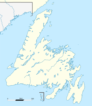
Cape Pine
Location of Cape Pine in Newfoundland
The Headland of Cape Pine is the point of land marking the boundary of Trepassey Bay on the Avalon Peninsula of the island of Newfoundland in the Canadian province of Newfoundland and Labrador.
It is the most southerly point in Newfoundland; at 46 36' 55" N, it is roughly the same latitude as the northern border of Italy.
Cape Pine is also prone to tropical cyclones, with Tropical Storm Ophelia making landfall there in 2011.
Notes
References
- Rowlett, Russ. "Lighthouses of Southeast Newfoundland". The Lighthouse Directory. University of North Carolina at Chapel Hill. Retrieved 8 September 2008.
Coordinates: 46°36′51″N 53°32′00″W / 46.61417°N 53.53333°W
This article is issued from Wikipedia - version of the 1/25/2016. The text is available under the Creative Commons Attribution/Share Alike but additional terms may apply for the media files.