Castle Ring
| Castle Ring | |
|---|---|
 | |
| Highest point | |
| Elevation | 242 m (794 ft) |
| Geography | |
| Location | Staffordshire, England |
| Parent range | Cannock Chase |
| OS grid | SK044128 |
| Topo map | OS Landranger 128 |
Castle Ring is an Iron Age hill fort, situated high up on the southern edge of Cannock Chase, Staffordshire, in the village of Cannock Wood, England. Castle Ring was thought to have been occupied around AD 50, by the Celtic Cornovii tribe.
Apart from the perimeter earthworks, little remains visible. However, there is also evidence of farming having taken place at some point, since parts of the ground in the ring have been ploughed but there is still some debate as to whether these were created by the Medieval hunters( who also built a hunting lodge on the ring sometime in the Medieval period - the remains of this are still visible today) or the Celtic tribe.
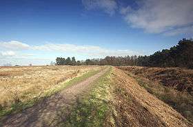
It is situated north of Burntwood and adjacent to the Heart of England Way. There are excellent views over Cannock Chase, the Trent Valley and Staffordshire.
It is the highest point on Cannock Chase with an elevation of 242 metres (794 feet).
External links
- Ancient Britain - Castle Ring
- District Council Web Site
- Web site of Heart of England Way Association
- roman-britain.org page
- From 'The Gatehouse'
- From 'The Megalith Map'
- Map sources for Castle Ring
See also
Coordinates: 52°42′46″N 1°56′05″W / 52.71284°N 1.93483°W