Catbrain
Coordinates: 51°31′21″N 2°36′46″W / 51.5225°N 2.61274°W
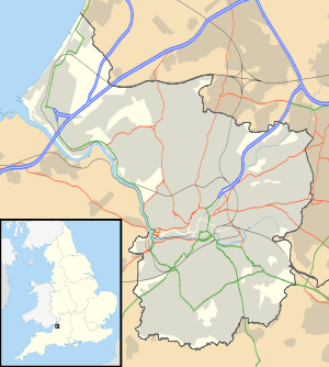
Catbrain Hill, simply known as Catbrain, is a small village near the north of Bristol, at the edge of neighbouring district South Gloucestershire, England. It is located by Cribbs Causeway, on a road that contains many car dealerships. A new housing estate has been recently constructed at Catbrain. At the bottom of the hill the lies Filton airfield.
The area belongs to postcode BS10[1]
Name history
The name "Catbrain" derives from the Middle English "cattes brazen"[2] which is a reference to the rough clay mixed with stones that is characteristic soil type of the location. It has frequently been noted on lists of unusual place names.[3]
Hazel Brook
The Hazel Brook rises in nearby Cribbs Causeway and its flow into the River Trym is controlled by an attenuation reservoir at Catbrain, which reduces the silt flowing into the system from the many shopping malls in the area.[4] Measurements of pollution by the city council show the water to be relatively clean.[5]
See also
Catbrain attenuation reservoir
References
- ↑ bristol.streetmapof.co.uk Google maps [Retrieved 22 December 2011]
- ↑ Smith, Veronica (2001). The Street Names of Bristol. Broadcast Books. p. 160. ISBN 1-874092-90-7.
- ↑ Parker, Quentin (2010). Welcome to Horneytown, North Carolina, Population: 15: An insider's guide to 201 of the world's weirdest and wildest places. Adams Media. pp. ix.
- ↑ "Waterways Monitoring: River Trym and Hazel Brook". Bristol City Council. Retrieved 24 November 2009.
- ↑ "Bristol surface water quality monitoring results" (PDF). Bristol City Council. September 2010. Retrieved 16 October 2010.
External links
![]() Media related to Catbrain at Wikimedia Commons
Media related to Catbrain at Wikimedia Commons