Centerville Municipal Airport (Tennessee)
| Centerville Municipal Airport | |||||||||||
|---|---|---|---|---|---|---|---|---|---|---|---|
| IATA: GHM – ICAO: KGHM – FAA LID: GHM | |||||||||||
| Summary | |||||||||||
| Airport type | Public | ||||||||||
| Owner | City of Centerville | ||||||||||
| Serves | Centerville, Tennessee | ||||||||||
| Elevation AMSL | 768 ft / 234 m | ||||||||||
| Coordinates | 35°50′14″N 087°26′43″W / 35.83722°N 87.44528°WCoordinates: 35°50′14″N 087°26′43″W / 35.83722°N 87.44528°W | ||||||||||
| Map | |||||||||||
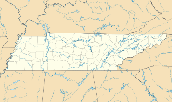 GHM Location of airport in Tennessee | |||||||||||
| Runways | |||||||||||
| |||||||||||
| Statistics (2004) | |||||||||||
| |||||||||||
Centerville Municipal Airport (IATA: GHM, ICAO: KGHM, FAA LID: GHM) is a city-owned public-use airport located three miles (5 km) north of the central business district of Centerville, a city in Hickman County, Tennessee, United States.[1]
Facilities and aircraft
Centerville Municipal Airport covers an area of 100 acres (40 ha) and contains one asphalt paved runway designated 2/20 which measures 4,002 x 75 ft (1,220 x 23 m). For the 12-month period ending December 31, 2004, the airport had 6,350 aircraft operations, an average of 17 per day: 99% general aviation and 1% military. There are 14 aircraft based at this airport: 64% single-engine and 36% multi-engine.[1]
References
External links
- CENTERVILLE MUNICIPAL - GHM at Tennessee DOT
- Resources for this airport:
- FAA airport information for GHM
- AirNav airport information for GHM
- ASN accident history for GHM
- FlightAware airport information and live flight tracker
- SkyVector aeronautical chart for GHM
This article is issued from Wikipedia - version of the 12/4/2016. The text is available under the Creative Commons Attribution/Share Alike but additional terms may apply for the media files.