Monte Jayuya
| Monte Jayuya | |
|---|---|
 Monte Jayuya | |
| Highest point | |
| Elevation | 1,315 m (4,314 ft) |
| Coordinates | 18°10′04″N 66°34′29″W / 18.16778°N 66.57472°WCoordinates: 18°10′04″N 66°34′29″W / 18.16778°N 66.57472°W |
| Geography | |
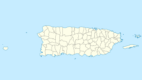
| Location | Jayuya / Ponce, Puerto Rico |
| Parent range | Cordillera Central |
| Climbing | |
| Easiest route | Hike |
Monte Jayuya is the second[1] highest peak of Puerto Rico measuring 1,296 meters (4,252 ft) above sea level.[2] The mountain is located in the Cordillera Central, on the border between the municipalities of Jayuya (Barrio Saliente)[3] and Ponce (Barrio Anón).[4][5] The peak is located in the municipality of Ponce[6] and it is within the Toro Negro State Forest.
References
- ↑ Puerto Rico - Highest Mountains. InfoAtGeonames.org Retrieved 21 August 2013.
- ↑ USGS: Geographic Name Information System. US Department of the Interior. 13 February 1981. Retrieved 21 August 2013.
- ↑ Mountain Forests: Highest peaks. El Yunque.com Puerto Rico's Forest Reserves and Wildlife Sanctuaries. Retrieved 21 August 2013.
- ↑ Relieve y picos más altos. Government of Puerto Rico. Sistemas de Informacion Geografica. Area de Tecnologia. Oficina de Gerencia y Presupuestos. Retrieved 21 August 2013.
- ↑ US Geological Survey. USGS. Geonames. Retrieved 21 August 2013.
- ↑ Puerto Rico geology and mineral resources. USGS. Retrieved 6 August 2014.
This article is issued from Wikipedia - version of the 8/7/2016. The text is available under the Creative Commons Attribution/Share Alike but additional terms may apply for the media files.