Cerro Negro de Mayasquer
| Cerro Negro de Mayasquer | |
|---|---|
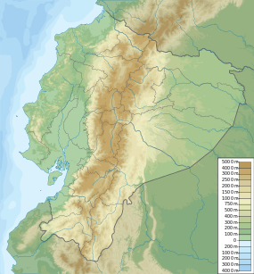 Cerro Negro de Mayasquer Location of Cerro Negro de Mayasquer, Colombia/Ecuador | |
| Highest point | |
| Elevation | 4,445 m (14,583 ft) [1] |
| Listing | List of volcanoes in Colombia |
| Coordinates | 0°49′39″N 77°57′52″W / 0.82750°N 77.96444°WCoordinates: 0°49′39″N 77°57′52″W / 0.82750°N 77.96444°W [1] |
| Geography | |
| Location | Carchi, Ecuador |
| Parent range | Cordillera Real, Andes |
| Geology | |
| Age of rock | Pleistocene |
| Mountain type | Stratovolcano |
| Volcanic belt | Northern Volcanic Zone, Andean Volcanic Belt |
| Last eruption | July 1936(?)[1] |
Cerro Negro de Mayasquer is a volcano on the border of Colombia and Ecuador. It lies 3 kilometres (2 mi) north-west of the volcano Chiles, and the two peaks are considered part of the same Chiles-Cerro Negro volcanic complex. A 1936 eruption reported by the Colombian government agency Ingeominas may have been from the Ecuadorean volcano Reventador, otherwise the volcano has not erupted for around 160,000 years.[1]
See also
References
- 1 2 3 4 "Cerro Negro de Mayasquer". Global Volcanism Program. Smithsonian Institution. Retrieved May 2, 2011.
This article is issued from Wikipedia - version of the 7/5/2015. The text is available under the Creative Commons Attribution/Share Alike but additional terms may apply for the media files.