Channel Point Coastal Reserve
| Channel Point Coastal Reserve Northern Territory | |
|---|---|
|
IUCN category V (protected landscape/seascape) | |
 Channel Point Coastal Reserve | |
| Nearest town or city | Darwin |
| Coordinates | 13°09′51″S 130°07′00″E / 13.16417°S 130.11667°ECoordinates: 13°09′51″S 130°07′00″E / 13.16417°S 130.11667°E |
| Established | 2005[1] |
| Area | 250 hectares (618 acres)[2] |
| Managing authorities | Parks and Wildlife Commission |
| Website | Channel Point Coastal Reserve |
| See also | Protected areas of the Northern Territory |
Channel Point Coastal Reserve is a coastal reserve in the Northern Territory of Australia.
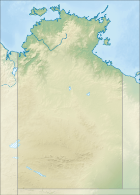
It is situated approximately 240 kilometres (149 mi) south west of Darwin opposite the Peron Islands and between the mouth of the Daly River and Channel Point. The reserve overlaps with the Anson Bay, Daly and Reynolds River Floodplains, an Important Bird and Biodiversity Area.
Facilities in the area include a boat ramp, camping area and a small internal road to the boat ramp. The infrastructure development was commenced in 2006 and completed shortly afterward.[3]
The area contains habitat for many species of birds including royal spoonbills, magpie geese, plumed whistling-duck, grey teal and glossy ibis.[4]
See also
Protected areas of the Northern Territory
References
- ↑ "Channel Point". Protected Planet. 2014. Retrieved 28 March 2015.
- ↑ "Channel Point Coastal Reserve". Parks and Wildlife Commission NT. Retrieved 28 March 2015.
- ↑ "Channel Point developments put to tender". Australian Broadcasting Corporation. 27 May 2006. Retrieved 28 March 2015.
- ↑ "Anson Bay, Daly and Reynolds River Floodplains". BirdLife International. Retrieved 28 March 2015.
This article is issued from Wikipedia - version of the 8/16/2015. The text is available under the Creative Commons Attribution/Share Alike but additional terms may apply for the media files.