Charsk
| Charsk Шар Shar | |
|---|---|
| Town | |
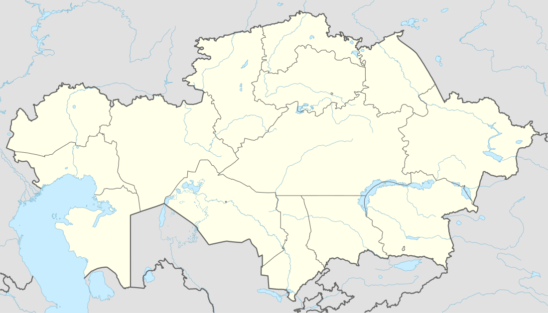 Charsk Location in East Kazakhstan Province, Kazakhstan | |
| Coordinates: 49°35′9″N 81°2′52″E / 49.58583°N 81.04778°ECoordinates: 49°35′9″N 81°2′52″E / 49.58583°N 81.04778°E | |
| Country | Kazakhstan |
| Region | East Kazakhstan |
| District | Zharma District |
| Population (2009)[1] | |
| • Total | 8,156 |
| Time zone | Astana Time (UTC+6) |
Charsk (Kazakh: Шар, Shar, Russian: Чарск) is a town in Zharma District in East Kazakhstan Region of eastern Kazakhstan. Population: 8,156 (2009 Census results);[1] 9,482 (1999 Census results).[1] Charsk is located at the left bank of the Shar River, a left tributary of the Irtysh. The name of the town originates from the name of the river.
History
Charsk was founded as a railway station on the Turkestan–Siberia Railway. Until 1963, it was known as the settlement of Charsky. At the time, it was a part of Ust-Kamenogorsky Uyezd of Semipalatinsk Oblast, which in 1920 was transformed into Semipalatinsk Governorate. On January 17, 1928 Semipalatinsk Governorate was abolished, and Charsky became a part of Zharma (Dzharma) District of Semipalatinsk Okrug of the Kazak Autonomous Socialist Soviet Republic. On December 17, 1930 the okrug was abolished, and the districts were directly subordinated to the republic. On February 20, 1932 East Kazakhstan Region was established, and Zharma District became a part of the region. On October 14, 1939 Semipalatinsk Region was split off East Kazakhstan Region, and Zharma District was moved into Semipalatinsk Region.[2]
On October 16, 1939 Charsky District was established, with the administrative center located in Charsky. The district was split off Zharma District.[2] In 1963, Charsky was granted town status and renamed Charsk.[3] In 1964, the district was merged into Zharma District, and re-established on March 10, 1972. On May 3, 1997 Semipalatinsk Region was abolished and merged into East Kazakhstan Region. On May 23, 1997 Charsk District was abolished and merged into Zharma District.[2]
Economy
Industry
The industry of Charsk mainly serves the railway station.[3]
Transportation
In Charsk, there is a railway station on the Turkestan–Siberia Railway which connects Novosibirsk and Almaty, on the stretch between Semey and Ayagoz. There is also a railway connecting Charsk and Oskemen. Previously, Oskemen was only connected by railways in the rest of Kazakhstan via Russia. In 2008, the bypass between Oskemen and Charsk was completed.[4]
Charsk has access to the M38 highway, which runs between Chinese and Russian borders via Semey and Pavlodar. There is also access to Oskemen via M38.
References
- 1 2 3 "Население Республики Казахстан" (in Russian). Департамент социальной и демографической статистики. Retrieved 8 December 2013.
- 1 2 3 Жарминский район (in Russian). Государственный архив Восточно-Казахстанской области. Retrieved 5 November 2013.
- 1 2 "Чарск". Great Soviet Encyclopedia. Retrieved 5 November 2013.
- ↑ В Казахстане открылась новая железная дорога Шар(Чарск)–Усть-Каменогорск (in Russian). Nezavisimaya Gazeta. Retrieved 4 November 2013.
Capital: Oskemen | ||
| Districts | 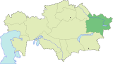 | |
| Major cities | ||