Chaves Airport
| Chaves Airport | |||||||||||
|---|---|---|---|---|---|---|---|---|---|---|---|
| IATA: CHV – ICAO: LPCH | |||||||||||
| Summary | |||||||||||
| Airport type | Public | ||||||||||
| Serves | Chaves | ||||||||||
| Elevation AMSL | 1,181 ft / 360 m | ||||||||||
| Coordinates | 41°43′20″N 7°27′50″W / 41.72222°N 7.46389°WCoordinates: 41°43′20″N 7°27′50″W / 41.72222°N 7.46389°W | ||||||||||
| Map | |||||||||||
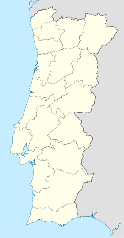 Chaves | |||||||||||
| Runways | |||||||||||
| |||||||||||
|
Source: Google Maps[1] | |||||||||||
Chaves Airport (IATA: CHV, ICAO: LPCH) is an airport serving Chaves in northern Portugal.
See also
- Transport in Portugal
- List of airports in Portugal
 Portugal portal
 Aviation portal
References
External links
This article is issued from Wikipedia - version of the 11/3/2016. The text is available under the Creative Commons Attribution/Share Alike but additional terms may apply for the media files.