Chor, Sindh
This article is about the town in Sindh. For the Canadian radio station, see CHOR-FM.
| Chor | |
|---|---|
 Chor | |
| Coordinates: 25°31′N 69°46′E / 25.517°N 69.767°ECoordinates: 25°31′N 69°46′E / 25.517°N 69.767°E | |
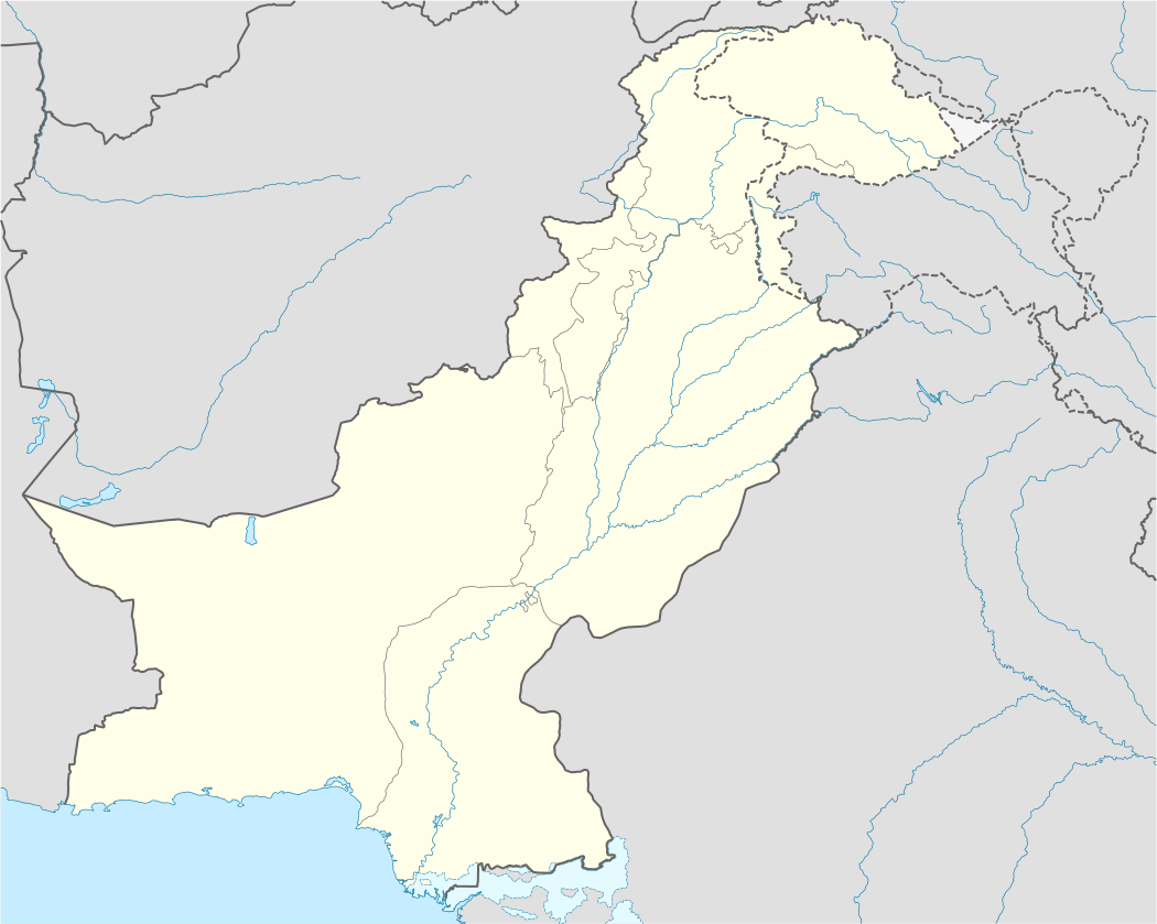
| Country |
|
| Province | Sindh Province |
| Elevation | 4 m (13 ft) |
| Time zone | PST (UTC+5) |
Chor or Chhor is a town situated in Umerkot District, Sindh, Pakistan. It has an altitude of 4 metres (13 ft).[1] It lies on the Mirpur Khas-Jodhpur railway line.
Climate
Chor has a hot desert climate (Köppen climate classification BWh) with very hot summers and warm winters. The main rainfall is in the monsoon season, which lasts from June to September.
| Climate data for Chor | |||||||||||||
|---|---|---|---|---|---|---|---|---|---|---|---|---|---|
| Month | Jan | Feb | Mar | Apr | May | Jun | Jul | Aug | Sep | Oct | Nov | Dec | Year |
| Record high °C (°F) | 34.0 (93.2) |
37.0 (98.6) |
43.5 (110.3) |
49.0 (120.2) |
47.8 (118) |
48.1 (118.6) |
45.9 (114.6) |
43.0 (109.4) |
44.0 (111.2) |
43.5 (110.3) |
40.0 (104) |
33.9 (93) |
49 (120.2) |
| Average high °C (°F) | 26.5 (79.7) |
29.2 (84.6) |
34.5 (94.1) |
39.1 (102.4) |
41.5 (106.7) |
39.7 (103.5) |
36.2 (97.2) |
34.5 (94.1) |
35.7 (96.3) |
37.1 (98.8) |
33.0 (91.4) |
27.9 (82.2) |
34.57 (94.25) |
| Daily mean °C (°F) | 16.0 (60.8) |
19.0 (66.2) |
24.4 (75.9) |
29.6 (85.3) |
33.0 (91.4) |
33.4 (92.1) |
31.5 (88.7) |
30.1 (86.2) |
29.8 (85.6) |
27.8 (82) |
22.4 (72.3) |
17.3 (63.1) |
26.19 (79.13) |
| Average low °C (°F) | 5.4 (41.7) |
8.7 (47.7) |
14.3 (57.7) |
20.1 (68.2) |
24.5 (76.1) |
27.2 (81) |
26.8 (80.2) |
25.7 (78.3) |
23.9 (75) |
18.5 (65.3) |
11.9 (53.4) |
6.6 (43.9) |
17.8 (64.04) |
| Record low °C (°F) | −2.8 (27) |
−2.0 (28.4) |
−1.6 (29.1) |
9.5 (49.1) |
11.8 (53.2) |
20.0 (68) |
19.5 (67.1) |
21.7 (71.1) |
17.8 (64) |
8.9 (48) |
1.1 (34) |
−1.7 (28.9) |
−2.8 (27) |
| Average precipitation mm (inches) | 0.6 (0.024) |
2.0 (0.079) |
4.5 (0.177) |
3.5 (0.138) |
3.0 (0.118) |
19.7 (0.776) |
79.0 (3.11) |
74.5 (2.933) |
22.9 (0.902) |
2.1 (0.083) |
3.6 (0.142) |
0.9 (0.035) |
216.3 (8.517) |
| Source: NOAA (1961-1990) [2] | |||||||||||||
References
- ↑ "Location of Chor". Falling Rain Genomics. Retrieved January 18, 2013.
- ↑ "Chhor Climate Normals 1961-1990". National Oceanic and Atmospheric Administration. Retrieved January 18, 2013.
This article is issued from Wikipedia - version of the 7/26/2014. The text is available under the Creative Commons Attribution/Share Alike but additional terms may apply for the media files.