Clarendon Weir
| Clarendon Weir | |
|---|---|
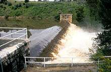 Flood waters surge over the Clarendon Weir in 1992 | |
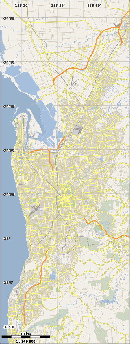 Location in the Adelaide area | |
| Country | Australia |
| Location | Adelaide |
| Coordinates | 35°06′43″S 138°38′06″E / 35.112°S 138.635°ECoordinates: 35°06′43″S 138°38′06″E / 35.112°S 138.635°E |
| Purpose | Water supply |
| Status | Operational |
| Construction began | 1894 |
| Opening date | 1896 |
| Owner(s) | SA Water |
| Dam and spillways | |
| Impounds | Onkaparinga River |
| Height | 14.5 metres (48 ft) |
The Clarendon Weir is a small weir on the Onkaparinga River, near Adelaide in South Australia. Built in 1894–96 as part of the early Onkaparinga Water Scheme, the weir was designed to pool water from the Mount Bold Reservoir, on the Onkaparinga, which is often boosted with water from the River Murray. From the weir water is directed onwards to Happy Valley Reservoir in the Field River catchment through pipeline. The water is used to supply the majority of the Adelaide region's water needs. The Clarendon Weir wall, originally constructed with large blocks of Macclesfield marble, was raised to its current height of 14.5 metres (48 ft) in the mid-1960s.

Clarendon Weir
See also
Notes
External links
| Wikimedia Commons has media related to Clarendon Weir. |
This article is issued from Wikipedia - version of the 9/12/2016. The text is available under the Creative Commons Attribution/Share Alike but additional terms may apply for the media files.