Clyde River (Tasmania)
For other uses, see Clyde River.
| Clyde | |
| River | |
| Country | Australia |
|---|---|
| State | Tasmania |
| Region | Midlands |
| Part of | River Derwent catchment |
| Settlements | Bothwell, Hamilton |
| Source | Lake Sorrell and Lake Crescent |
| - location | near Interlaken |
| - elevation | 817 m (2,680 ft) |
| - coordinates | 42°56′S 146°7′E / 42.933°S 146.117°E |
| Mouth | River Derwent |
| - location | south of Hamilton |
| - elevation | 73 m (240 ft) |
| - coordinates | 42°34′47″S 146°48′39″E / 42.57972°S 146.81083°ECoordinates: 42°34′47″S 146°48′39″E / 42.57972°S 146.81083°E |
| Length | 97 km (60 mi) |
| Basin | 1,120 km2 (432 sq mi) |
| Reservoirs | Lake Sorell, Lake Crescent, Meadowbank Lake |
| [1] | |
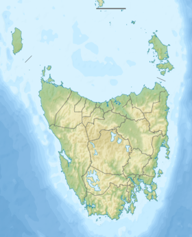
The Clyde River, also known as the River Clyde,[1] part of the River Derwent catchment, is a perennial river located in the Midlands region of Tasmania, Australia.
Course and features
The Clyde River rises in the reservoirs of Lake Sorell and Lake Crescent, near Interlaken and flows generally west by south, through the settlements of Bothwell and Hamilton, joined by nine minor tributaries before reaching its mouth and emptying into the River Derwent at Lake Meadowbank. The river drains a catchment area of 1,120 square kilometres (430 sq mi) in an agricultural region of Tasmania[2] and descends 744 metres (2,441 ft) over its 97-kilometre (60 mi) course.[1]
See also
References
- 1 2 3 "Map of River Clyde, TAS". Bonzle Digital Atlas of Australia. 2015. Retrieved 30 June 2015.
- ↑ "2005 Waterways Monitoring Report - Clyde Catchment" (PDF). Department of Water, Primary Industries and the Environment. Tasmania: Tasmanian Government. 2005.
River systems and rivers of Tasmania, Australia | |||||||
|---|---|---|---|---|---|---|---|
| |||||||
| |||||||
| |||||||
|
This article is issued from Wikipedia - version of the 6/24/2016. The text is available under the Creative Commons Attribution/Share Alike but additional terms may apply for the media files.