Coad's Green
| Coad's Green | |
 Coad's Green Methodist Church |
|
 Coad's Green |
|
| OS grid reference | SX2976 |
|---|---|
| Civil parish | North Hill |
| Unitary authority | Cornwall |
| Ceremonial county | Cornwall |
| Region | South West |
| Country | England |
| Sovereign state | United Kingdom |
| Post town | LAUNCESTON |
| Postcode district | PL15 |
| Dialling code | 01566 |
| Police | Devon and Cornwall |
| Fire | Cornwall |
| Ambulance | South Western |
| EU Parliament | South West England |
| UK Parliament | North Cornwall |
Coordinates: 50°34′01″N 4°24′47″W / 50.567°N 04.413°W
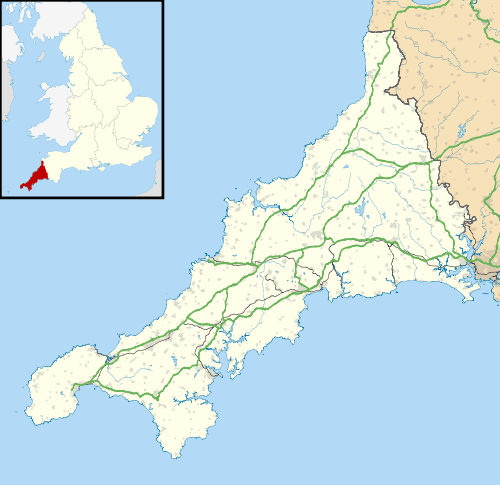
Coad's Green (or Coads Green) is a village in Cornwall, England, United Kingdom, located on the B3257 in a rural area to the east of Bodmin Moor, about 7 miles (11 km) from the nearest town of Launceston.[1] It is within the parish of North Hill. It has a primary school, a Methodist church and a village hall. Historically, it has also been referred to as Coades Green.[2] The Hocking's Green apple variety originated in Coad's Green.[3] Group Travel's Launceston to Liskeard service (number 236) passes through the village.[4]
References
- ↑ Ordnance Survey One-inch Map of Great Britain; Bodmin and Launceston, sheet 186. 1961
- ↑ Bond, Chris (2007). An Index to the Historical Place Names of Cornwall - Volume 1. p. 261.
- ↑ Browse, Philip McMillan (2005). Heligan: fruit, flowers and herbs. Alison Hodge Publishers. p. 82.
- ↑ "236: Launceston - Liskeard" (PDF). Cornwall Council. Retrieved 19 September 2011.
This article is issued from Wikipedia - version of the 1/15/2016. The text is available under the Creative Commons Attribution/Share Alike but additional terms may apply for the media files.