Conchagüita
| Conchagüita | |
|---|---|
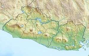 Conchagüita Location in El Salvador | |
| Highest point | |
| Elevation | 505 m (1,657 ft) |
| Prominence | 505 m (1,657 ft) |
| Coordinates | 13°13′44″N 87°46′01″W / 13.229°N 87.767°WCoordinates: 13°13′44″N 87°46′01″W / 13.229°N 87.767°W |
| Geography | |
| Location | El Salvador |
| Geology | |
| Mountain type | Stratovolcano |
| Last eruption | Pleistocene |
Conchagüita is a volcanic island in Gulf of Fonseca, eastern El Salvador.
In October 1892, an earthquake triggered a large landslide at the volcano, and the resulting dust cloud was first thought to be new volcanic ash. The event was discredited as volcanic eruption by the Smithsonian Institution.
See also
References
This article is issued from Wikipedia - version of the 10/3/2016. The text is available under the Creative Commons Attribution/Share Alike but additional terms may apply for the media files.