Conger Mountain
| Conger Mountain | |
|---|---|
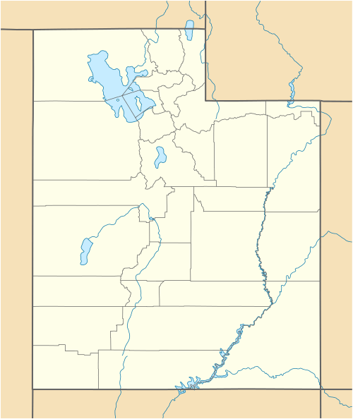 Conger Mountain Location in Utah | |
| Highest point | |
| Elevation | 8,144 ft (2,482 m) [1] |
| Prominence | 1,824 ft (556 m) [1] |
| Coordinates | 39°13′46″N 113°43′23″W / 39.229341°N 113.723017°WCoordinates: 39°13′46″N 113°43′23″W / 39.229341°N 113.723017°W [1] |
| Geography | |
| Location | Millard County, Utah, United States |
| Parent range | Confusion Range |
| Topo map | USGS Conger Mountain |
Conger Mountain is a mountain in Millard County, Utah. It is located 60 miles west of Delta, Utah and is the highest peak in the Confusion Range.
Wildlife
Conger Mountain is almost completely undeveloped. It serves as a habitat for mule deer and antelope and is home to a herd of wild horses.[2] It is considered a vital habitat for the golden eagle and bald eagles have been spotted near the mountain. Conger Mountain is also home to ferruginous hawks, Swainson's hawks, mountain bluebird, red-tailed hawks, prairie falcons, kit foxes, badgers, and chukar.[3]
Protection status
Currently, the 20,400 acres encompassing Conger Mountain are considered a Wilderness Study Area. Action may be taken in the future to designate this area as a National Wilderness Area.[4]
References
- 1 2 3 "Conger Mountain, Utah". Peakbagger.com. Retrieved 2012-01-06.
- ↑ "Conger Mountains Herd Management Area". Retrieved 2012-01-07.
- ↑ "South Utah Wilderness Alliance". Retrieved 2012-01-06.
- ↑ "Utah Wilderness Inventory -- Conger Mountain" (PDF). Retrieved 2012-01-07.
External links
- "Conger Mountain". Geographic Names Information System. United States Geological Survey.
- "Conger Mountain (UT)". SummitPost.org.