Copford
| Copford | |
 Copford |
|
| Population | 1,689 (2011)[1] |
|---|---|
| OS grid reference | TL9223 |
| Civil parish | Copford with Easthorpe |
| District | Colchester |
| Shire county | Essex |
| Region | East |
| Country | England |
| Sovereign state | United Kingdom |
| Post town | Colchester |
| Postcode district | CO6 |
| Dialling code | 01206 |
| Police | Essex |
| Fire | Essex |
| Ambulance | East of England |
| EU Parliament | East of England |
| UK Parliament | Witham |
Coordinates: 51°52′53″N 0°48′13″E / 51.88126°N 0.803719°E
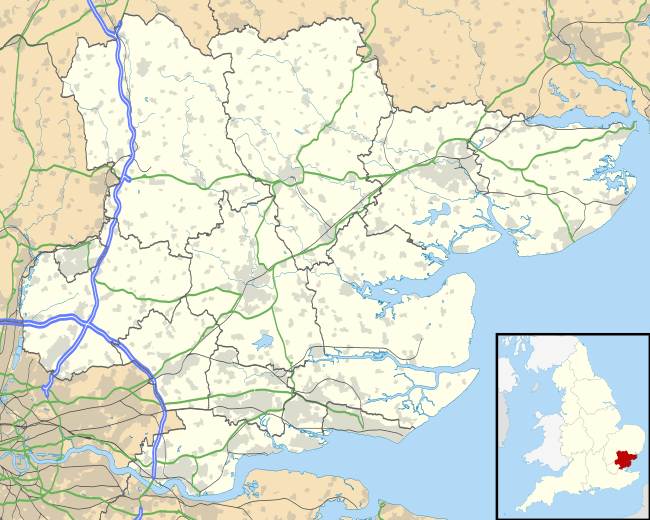
Copford is a village and civil parish in Essex, England, 3 kilometres (2 mi) west of Colchester. The hamlet of Copford Green is found a short distance to the south. The poet Matthew Arnold noted he was struck by "the deeply rural character of the village and neighbourhood."[2]
History
Copford was originally a manor held by the Bishop of London's office. Upon the death of Edmund Bonner in 1569 (also buried here) the land briefly became property of The Crown until 1609 when it returned to private ownership once more . The parish church of St Michael is renowned for its 12th-century Norman wall paintings that are among the best in England. The church door has been found to have human skin attached, possibly as a gruesome remnant of the ancient punishment meted out to those who invaded the sanctity of the church.[3] Adjacent to the church is the manorial house of Copford Hall.
Governance
Copford is part of the electoral ward called Copford and West Stanway. The population of this ward at the 2011 Census was 1,915.[4]
Transport
Copford is situated about half a mile east of the junction between the A12 and A120 at Marks Tey.
The closest rail link is the Great Eastern Main Line, which connects London Liverpool Street to Norwich, and stops at Marks Tey station.
The village is served by the 70 and 71 bus services at the London Road end, thus giving access to Colchester, Chelmsford and Braintree via public transport.
Copford Green and the neighbouring village of Easthorpe are served every Wednesday by a community bus for which tickets must be purchased in advance.
Community
Copford is divided into 3 distinct areas of population, the largest of which is the Queensberry Avenue Estate with some 250 houses. London Road/School Road (down to the Village Hall) has approx. 190 dwellings, and the Copford Green area a further 150.
The village has a Hall built in the early 1990s, and a School parts of which date back to Victorian times, and the majority of which was rebuilt with the addition of a new School Hall in 2002.
The Parish Council owns two play parks (one behind the Village Hall, the other on Queensberry Avenue), and a superbly well looked-after woods complete with a picnic area and several walks.
If you enjoy rambling, then there is a pleasant circular walk that takes-in two pubs. Park-up at the Swan on London Road (just over the border in Stanway), then walk back over the river bridge, head up to Hall Lane, and turn left into it. Walk along Hall Lane until you reach the first gate into Pitts Wood (on your right). You can then follow a path that takes you through the woods past the pond and down some steps. At this point, turn left and follow the trail that takes you back to Hall Lane, here, turn right and continue for about 1/2 mile. When you reach the junction with Church Lane, you will notice a gate to your left. This leads to the church which is well worth a visit. After you have visited the church, retrace your steps back to the gate, then cross into Church Lane and follow it to the junction with School Road, turn right and you will find yourself on the village green complete with the Alma public house. After stopping for refreshments, follow School Road back down to London Road, turn right, then walk back down to the Swan.
References
- ↑ "Civil Parish population 2011". Retrieved 29 September 2015.
- ↑ Arnold, Matthew; George W. E. Russell (2004). Letters of Matthew Arnold 1848 to 1888 Part One. Kessinger Publishing. p. 416. ISBN 1-4179-5676-3.
- ↑ Wall, J. Charles (1912), Porches and Fonts. Pub. Wells Gardner and Darton, London. P. 41 - 42.
- ↑ "Copford and West Stanway ward population 2011". Retrieved 29 September 2015.
External links
| Wikimedia Commons has media related to Copford. |