Corral de Mulas Airport
| Corral De Mulas Airport | |||||||||||
|---|---|---|---|---|---|---|---|---|---|---|---|
| IATA: none – ICAO: MSCM | |||||||||||
| Summary | |||||||||||
| Airport type | Public | ||||||||||
| Serves | Corral De Mulas | ||||||||||
| Elevation AMSL | 26 ft / 8 m | ||||||||||
| Coordinates | 13°12′20″N 88°32′50″W / 13.20556°N 88.54722°WCoordinates: 13°12′20″N 88°32′50″W / 13.20556°N 88.54722°W | ||||||||||
| Map | |||||||||||
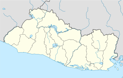 MSCM Location of the airport in El Salvador | |||||||||||
| Runways | |||||||||||
| |||||||||||
|
Source: Google Maps[1] | |||||||||||
Corral De Mulas Airport (ICAO: MSCM) is an airport serving the village of Corral De Mulas in Usulután Department, El Salvador. The unmarked grass runway is west of and adjacent to the village.
See also
 Aviation portal
- List of airports in El Salvador
References
External links
- OurAirports - Corral De Mulas
- OpenStreetMap - Corral De Mulas
- HERE/Nokia - Corral De Mulas
- Corral De Mulas
This article is issued from Wikipedia - version of the 3/6/2016. The text is available under the Creative Commons Attribution/Share Alike but additional terms may apply for the media files.