Coweeman River
| Coweeman River | |
| Country | United States |
|---|---|
| State | Washington |
| County | Cowlitz |
| Source | Coweeman Lake |
| - elevation | 3,965 ft (1,209 m) [1] |
| - coordinates | 46°08′27″N 122°27′17″W / 46.14083°N 122.45472°W [2] |
| Mouth | Columbia River |
| - location | near Kelso |
| - elevation | 23 ft (7 m) [2] |
| - coordinates | 46°06′26″N 122°53′22″W / 46.10722°N 122.88944°WCoordinates: 46°06′26″N 122°53′22″W / 46.10722°N 122.88944°W [2] |
| Length | 36.3 mi (58 km) [3] |
| Basin | 200 sq mi (518 km2) [4] |
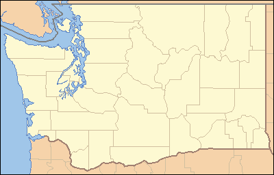 Location of the mouth of Coweeman River in Washington
| |
The Coweeman River is a tributary of the Cowlitz River, in the U.S. state of Washington. Its name comes from the Cowlitz word ko-wee-na, meaning "short one", referring to a short Indian who once lived along the river.[2]
Course
The Coweeman River originates in Coweeman Lake and flows west for 36 miles (58 km) to join the Cowlitz River near the confluence of the Cowlitz and Columbia River at Kelso.[3] Just below the mouth of its first named tributary, Butler Creek, the river drops over Washboard Falls.[3]
See also
References
- ↑ Source elevation derived from Google Earth search using GNIS source coordinates.
- 1 2 3 4 "Coweeman River". Geographic Names Information System (GNIS). United States Geological Survey. September 10, 1979. Retrieved January 20, 2013.
- 1 2 3 United States Geological Survey. "United States Topographic Map". TopoQuest. Retrieved January 26, 2013. River miles are marked and numbered on the relevant map quadrangles.
- ↑ "Lower Columbia Salmon and Steelhead Recovery and Subbasin Plan: 9 Cowlitz Subbasin, Coweeman" (PDF). Northwest Power and Conservation Council. 2004. Retrieved January 26, 2013.
This article is issued from Wikipedia - version of the 9/11/2016. The text is available under the Creative Commons Attribution/Share Alike but additional terms may apply for the media files.