Deadman's Cay Airport
| Deadman's Cay Airport | |||||||||||
|---|---|---|---|---|---|---|---|---|---|---|---|
| IATA: LGI – ICAO: MYLD | |||||||||||
| Summary | |||||||||||
| Airport type | Public | ||||||||||
| Serves | Long Island, The Bahamas | ||||||||||
| Location | Deadman's Cay | ||||||||||
| Elevation AMSL | 9 ft / 3 m | ||||||||||
| Coordinates | 23°10′45″N 075°05′37″W / 23.17917°N 75.09361°WCoordinates: 23°10′45″N 075°05′37″W / 23.17917°N 75.09361°W | ||||||||||
| Map | |||||||||||
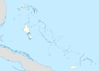 MYLD Location in The Bahamas | |||||||||||
| Runways | |||||||||||
| |||||||||||
Deadman's Cay Airport (IATA: LGI, ICAO: MYLD) is an airport located near Deadman's Cay on Long Island in The Bahamas.[1]
Facilities
The airport resides at an elevation of 9 ft (2.7 m) above mean sea level. It has one runway designated 09/27 with an asphalt surface measuring 1,219 m × 30 m (3,999 ft × 98 ft).[1]
Airlines and destinations
| Airlines | Destinations |
|---|---|
| Bahamasair | Nassau |
| Pineapple Air | Nassau |
| Southern Air Charter | Nassau |
References
- 1 2 3 Airport information for MYLD at World Aero Data. Data current as of October 2006.Source: DAFIF.
- ↑ Airport information for LGI at Great Circle Mapper. Source: DAFIF (effective October 2006).
External links
This article is issued from Wikipedia - version of the 12/4/2016. The text is available under the Creative Commons Attribution/Share Alike but additional terms may apply for the media files.