Deadman Summit
| Deadman Summit | |
|---|---|
|
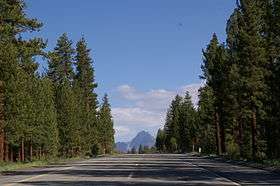
Deadman Summit, facing South, with Mount Morrison in the distance | |
| Elevation | 8,047 ft (2,453 m) NAVD 88[1] |
| Traversed by |
|
| Location | Mono County, California, U.S. |
| Coordinates | 37°46′15″N 119°00′30″W / 37.77083°N 119.00833°WCoordinates: 37°46′15″N 119°00′30″W / 37.77083°N 119.00833°W[1] |
| Topo map | USGS June Lake |
Deadman Summit is a mountain pass in the Sierra Nevada in Mono County, California. It crosses the northern rim of the Long Valley Caldera, connecting the northern end of the Owens River watershed with Mono Lake via U.S. Highway 395.[2] The pass, and the nearby creek with the same name, were named for the decapitated body of a murder victim found in the vicinity around 1868.[3]
Deadman Summit is commonly traversed by travelers from Southern California seeking recreation in the June Lake, June Mountain, and Mono Lake areas.
References
- 1 2 "J". NGS data sheet. U.S. National Geodetic Survey. Retrieved 2008-12-22.
- ↑ "Deadman Summit, Mono County, California". Eastern Mojave Vegetation. Retrieved 2008-12-22.
- ↑ Farquhar, Francis P. (1926). Place Names of the High Sierra. Yosemite Online. Retrieved 2008-12-22.
This article is issued from Wikipedia - version of the 2/2/2016. The text is available under the Creative Commons Attribution/Share Alike but additional terms may apply for the media files.