Decorah Municipal Airport
| Decorah Municipal Airport | |||||||||||
|---|---|---|---|---|---|---|---|---|---|---|---|
| IATA: DEH – ICAO: KDEH – FAA LID: DEH | |||||||||||
| Summary | |||||||||||
| Airport type | Public | ||||||||||
| Owner | City of Decorah | ||||||||||
| Serves | Decorah, Iowa | ||||||||||
| Elevation AMSL | 1,158 ft / 353 m | ||||||||||
| Coordinates | 43°16′32″N 091°44′22″W / 43.27556°N 91.73944°W | ||||||||||
| Map | |||||||||||
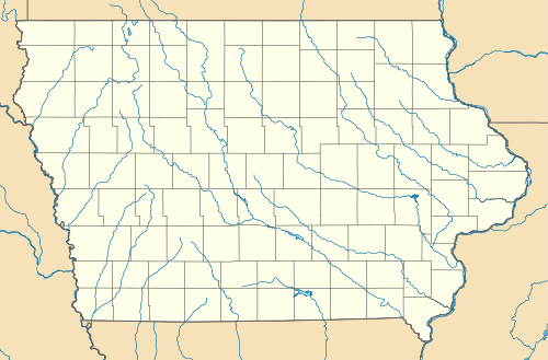 DEH  DEH Location of airport in Iowa/United States | |||||||||||
| Runways | |||||||||||
| |||||||||||
| Statistics (2007) | |||||||||||
| |||||||||||
Decorah Municipal Airport (IATA: DEH, ICAO: KDEH, FAA LID: DEH) is a city owned public use airport located two nautical miles (3.7 km) southeast of the central business district of Decorah, in Winneshiek County, Iowa, United States.[1]
Facilities and aircraft
Decorah Municipal Airport covers an area of 154 acres (62 ha) at an elevation of 1,158 feet (353 m) above mean sea level. It has one runway designated 11/29 with a concrete surface measuring 4,001 by 75 feet (1,220 x 23 m).[1]
For the 12-month period ending July 19, 2007, the airport had 9,100 general aviation aircraft operations, an average of 24 per day. At that time, there were 25 aircraft based at this airport: 96% single-engine and 4% ultralight.[1]
References
External links
- Decorah Municipal (DEH) at Iowa DOT Office of Aviation
- Aerial photo as of 22 April 1994 from USGS The National Map
- FAA Terminal Procedures for DEH, effective November 10, 2016
- Resources for this airport:
- FAA airport information for DEH
- AirNav airport information for KDEH
- ASN accident history for DEH
- FlightAware airport information and live flight tracker
- NOAA/NWS latest weather observations
- SkyVector aeronautical chart, Terminal Procedures
This article is issued from Wikipedia - version of the 10/22/2016. The text is available under the Creative Commons Attribution/Share Alike but additional terms may apply for the media files.