Dumaraha
| Dumaraha डुम्राहा | |
|---|---|
| Village development committee | |
 Dumaraha Location in Nepal | |
| Coordinates: 26°38′N 87°08′E / 26.64°N 87.14°ECoordinates: 26°38′N 87°08′E / 26.64°N 87.14°E | |
| Country |
|
| Zone | Kosi Zone |
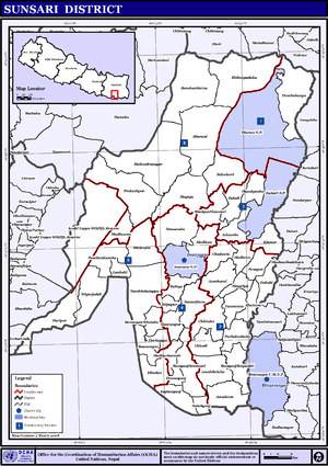
| District | Sunsari District |
| Population (1991) | |
| • Total | 13,215 |
| Time zone | Nepal Time (UTC+5:45) |
Dumaraha is a village development committee in Sunsari District in the Kosi Zone of south-eastern Nepal. There are 9 wards and main villages of Dumaraha are Arta, Sitpur, Marchaya, Kansamadan, Bankulwa etc. At the time of the 1991 Nepal census it had a population of 13,215 people living in 2426 individual households. There are some community schools like Shree Tribhuvan Secondary School, Shera Primary School, Thule Mohor Primary School, Sanischare Secondary School. There are also some private schools like Siddhartha Shikshya Sadan , M.S. Standard English School, Herculus English School etc. There is Shera River flowing by the side of Ramdhuni forest past the Arta village. It is easy to reach Ramdhuni Temple from here. Though the village is well connected by road, electricity but development of infrastructure is not rapid as expected.[1]

Location
Dumraha is located in 26.64 degree north and 87.14 degree east. The neighboring VDCs and Municipalities are Ramdhuni Bhasi municipality,Inaruwa municipality, Bhokraha VDC and Prakashpur VDC. The office of Dumraha VDC is about 6 kilometers away from Inaruwa.
History
Dumraha VDC is historic in the sense that ehhnic group of Tharu, Musahar, Dom has been living since ages.The name Dumraha may be named besause the Dom community people are living there as Dumraha can be linguistically broken as "DUM- RAHA" where "DUM" refers to Dom Community and "RAHA" in Maithali or Tharu language means "staying". So, Dumraha may be named because "Dom Community People were living there in the past."
Ethnic Groups
In the past, people from Tharu, Dhanuk, Muhasar,Dom community were living there. But after 2007 B.S. due to migration of people from hilly region and later immigration of people from India, the chief ethnic groups are Brahmin, Chhetri, Tharu, Mehata,Newar, Rai, Limbu, Dom, Dhanuk Musahar etc.
Natural Resources
Dumraha is rich in natural resources.The soil is appreciably fertile and large amount of Rice, Wheat, Maize, Sugarcane, Juteetc are grown and supplied to nearby trade centres.

Ramdhuni Forest which is in Dumraha VDC is rich in timber and Shehara River flows by the side if forest.
References
- ↑ "Nepal Census 2001". Nepal's Village Development Committees. Digital Himalaya. Retrieved 2 December 2008.
